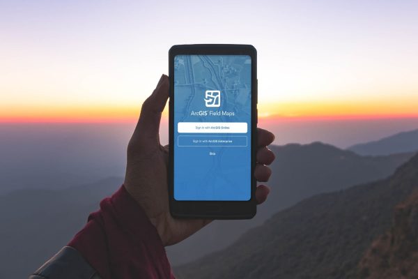
Utilizing GIS in the field can be complicated. Until now, different workflows for field work required different apps — making configuration and use complicated. Introducing ArcGIS Field Maps, a single app that combines the power of several Field Mobility Apps that’s easy to use, simple to deploy, and has everything a workforce needs to leverage maps in the field.
This app currently brings together the functionality of ArcGIS Collector, Explorer, & Tracker. Field Maps removes the need to configure multiple applications together in order to streamline field workflows. Save time by empowering your workforce with a single application for all your field data collection needs.
ArcGIS Field Maps release is now available! Dive in and get started with your field mapping workflows. Field Maps currently includes the ability to:
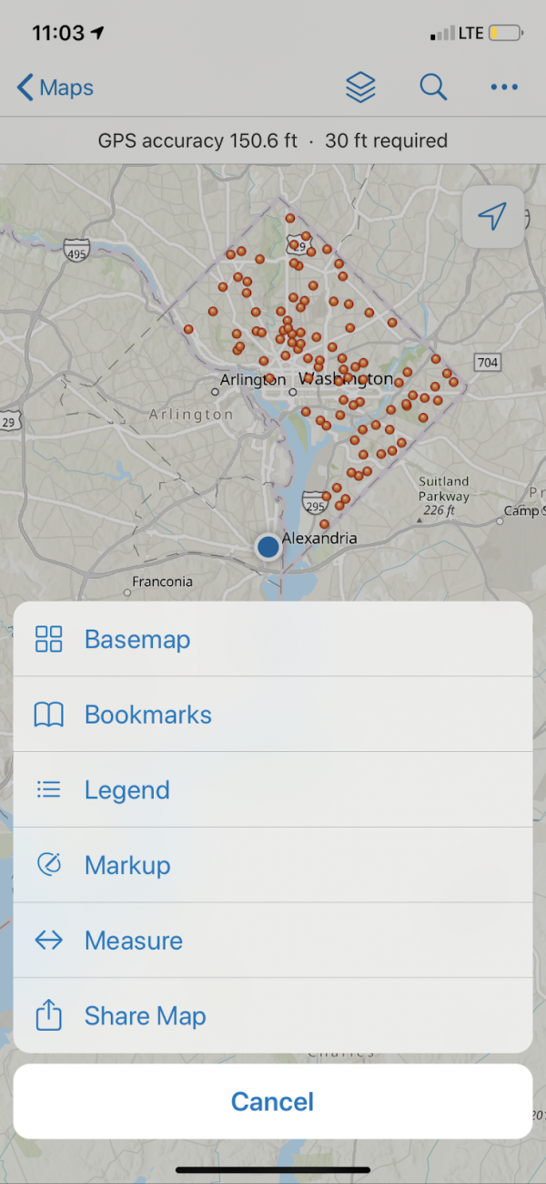
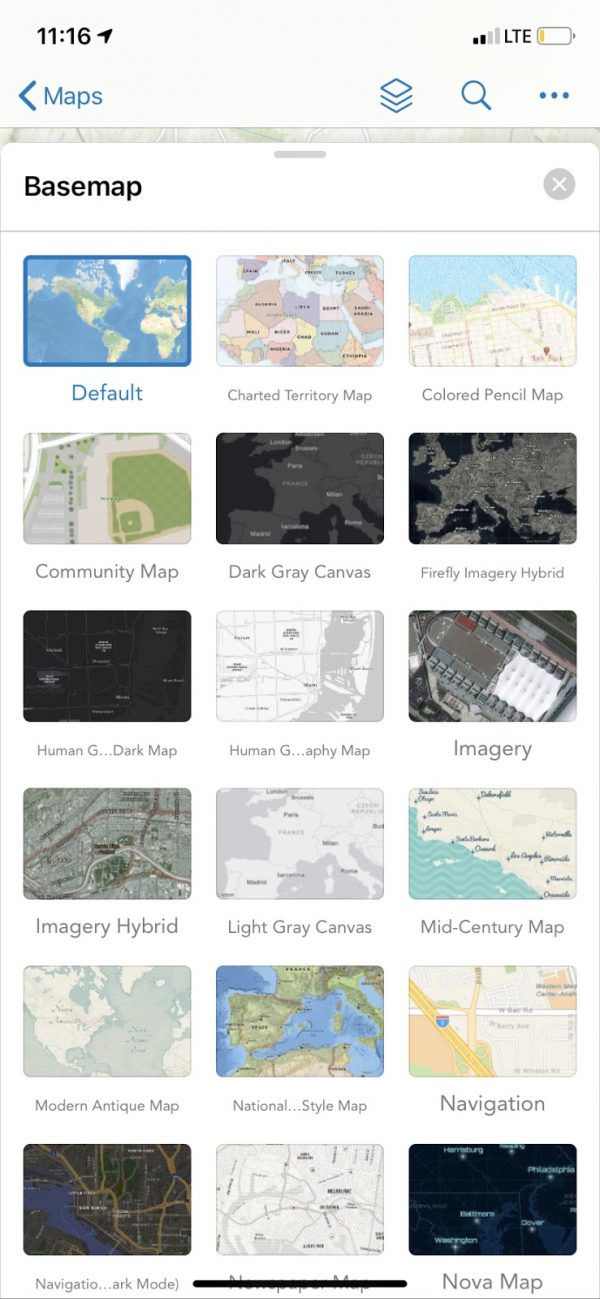
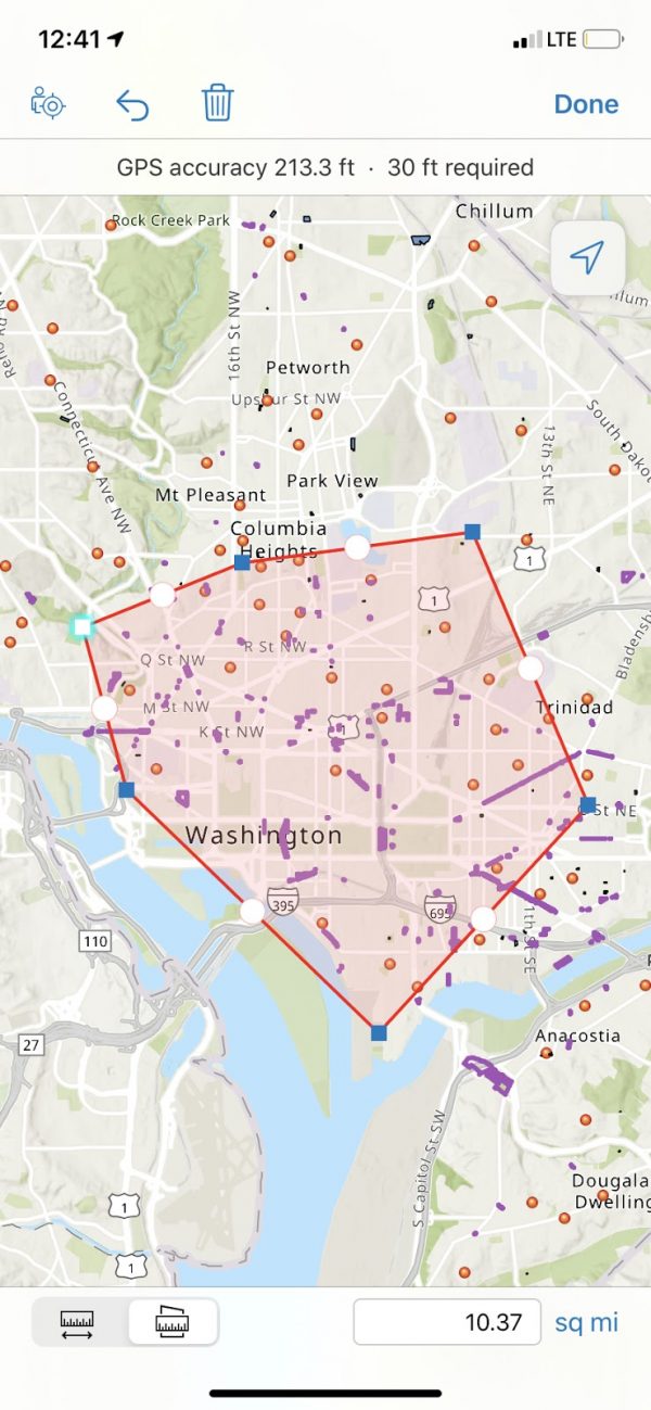
With ArcGIS Field Maps, users have the ability to view and configure maps to fit their preferred map viewing experience. Quickly zoom into featured areas with bookmarkers, while viewing all layers and legends of that specific area. If you want to change the overall look of the map, try changing the Basemap. Use the measuring tool to configure measurements of distance and area based on what makes sense for your workflow.
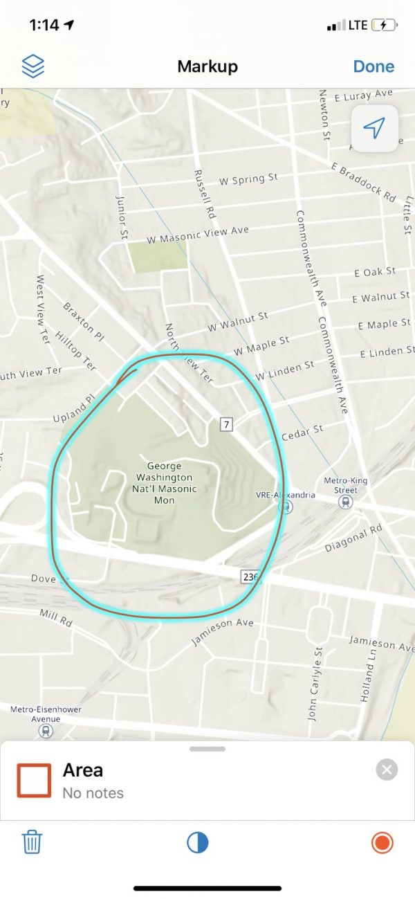
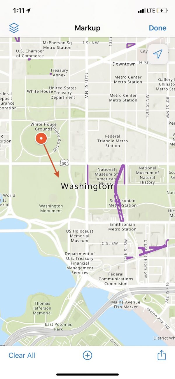
The Markup tool from Explorer builds a layer in which you are able to take notes and create sketches on top of any map. You can also use Markers to create points of interest on your map, which you can label and add notes to describe what it is and its importance.

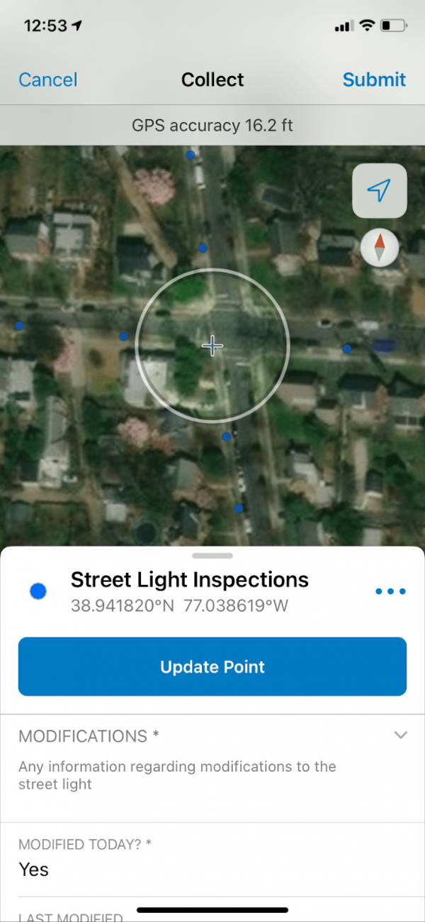
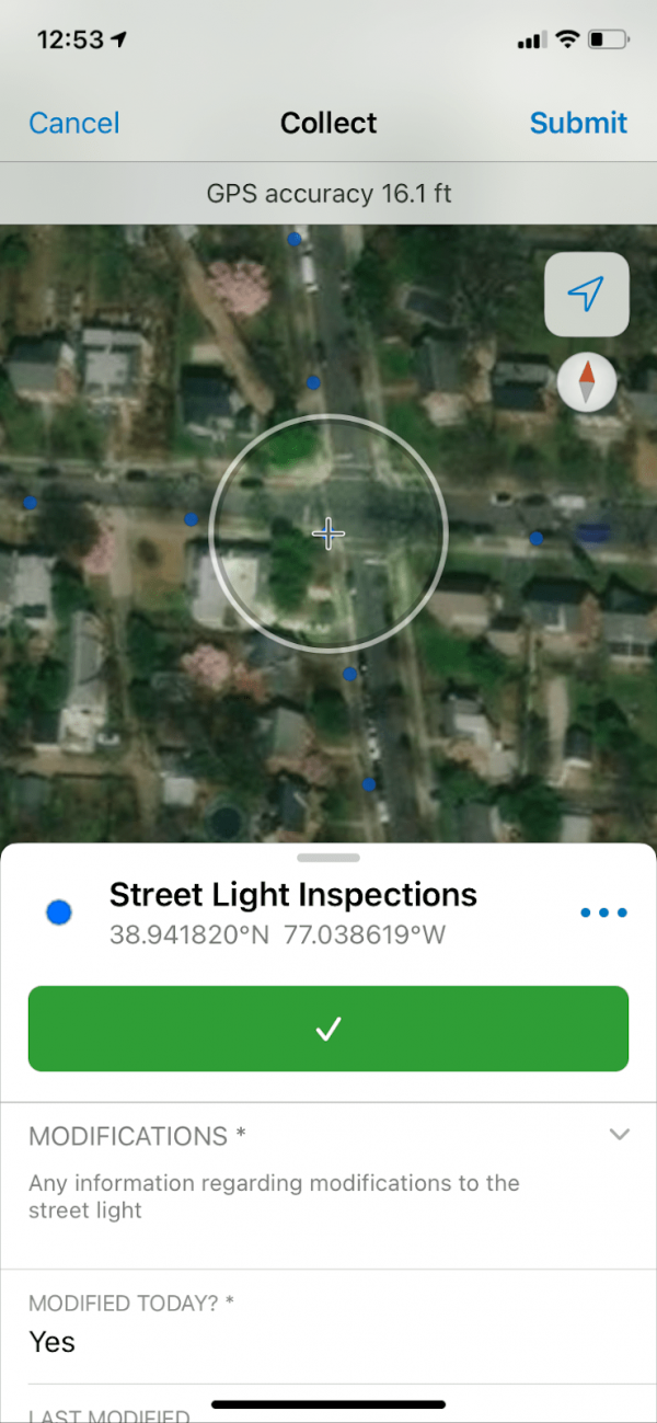
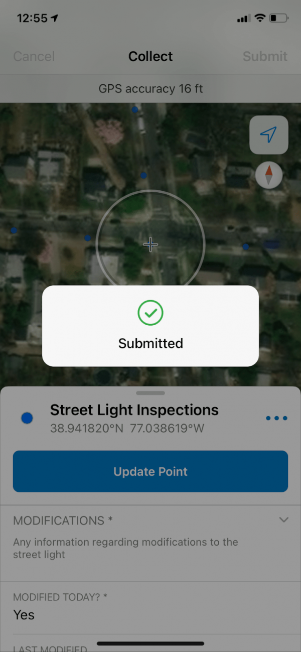
Begin collecting data just as you would in Collector by clicking the add button on the bottom right corner. Add a new data point to the map from a list of preexisting choices. From there, fill out the information from the provided template, and tap the submit button to update the new data point when finished.
With Location Tracking from Tracker, you have the ability to see where your mobile workforce has been. Workers also have the ability to view My Tracks, a layer that can be viewed on the map. For these features to exist, tracking location must first be enabled on the device, and you must have an ArcGIS Tracker License.
When working in an area that you know will have poor internet connection, try creating an offline map area beforehand. Doing this will allow you to view assets and collect data while working offline. The Map Area functionality includes your data, basemaps, and attachments, and allows for users to have access to maps and data no matter where they are. Data syncing capabilities ensure that when users are back online, any data collection is saved to your authoritative data.
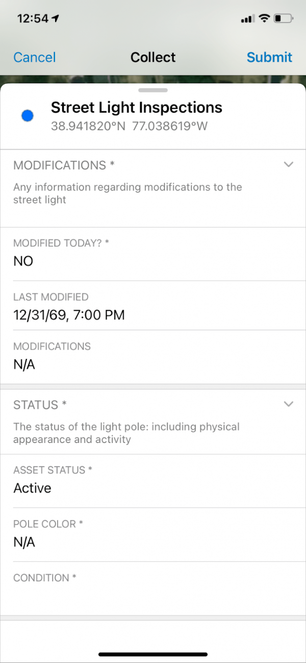
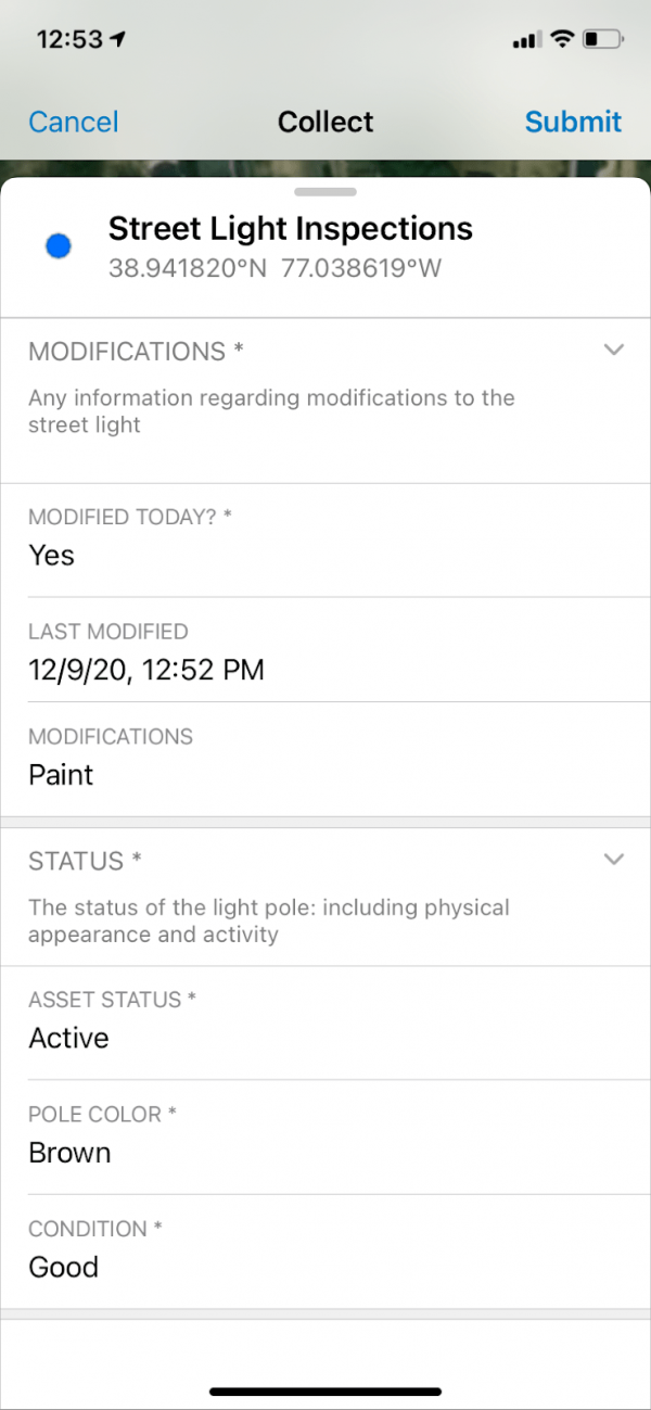
You have the ability to author smart forms, creating forms for your users to complete in the field. Smart form capabilities allow authors to create groups for data fields — allowing you to group like fields together under a single title and description. Conditional logic and required field features make sure that users only see relevant form information and can only submit when required information is included — ensuring that the information you need is complete.
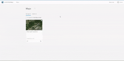
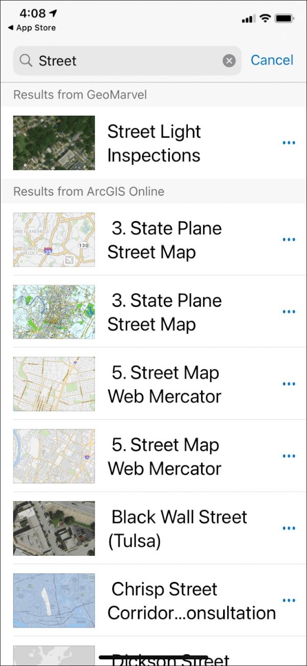
From ArcGIS Online, you can navigate to the Field Maps application to configure smart forms and prepare web maps to be utilized in the Field Maps mobile application, which can be downloaded from Apple’s App Store or the Google Play Store.
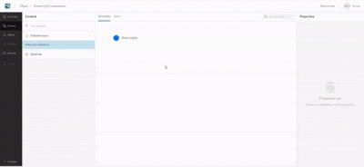
From the Field Maps home page, select the map to be utilized by Field Maps, navigate to the Content section, and select the layer(s) to create a smart form for.
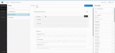
Once you have selected the layer you would like to create a smart form for, utilize the intuitive drag and drop smart form creator to add fields from the layer’s attributes to be included in the form. Included in the smart form is the option to create groups, allowing similar attributes to be grouped together, further streamlining the user experience in the field.
After adding all relevant fields to the smart form, configure names of groups and attributes, text fields, hints for users, and whether the field is required to submit the form. Once you have configured the form, be sure to save the form.
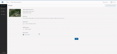
Once your form has been created, you also have the option to create offline map areas so users can utilize Field Maps no matter where they are. To do so, make sure that your map has Offline Mode Enabled. Next, manage your Map Areas to save places and work areas that users will need to have access to.
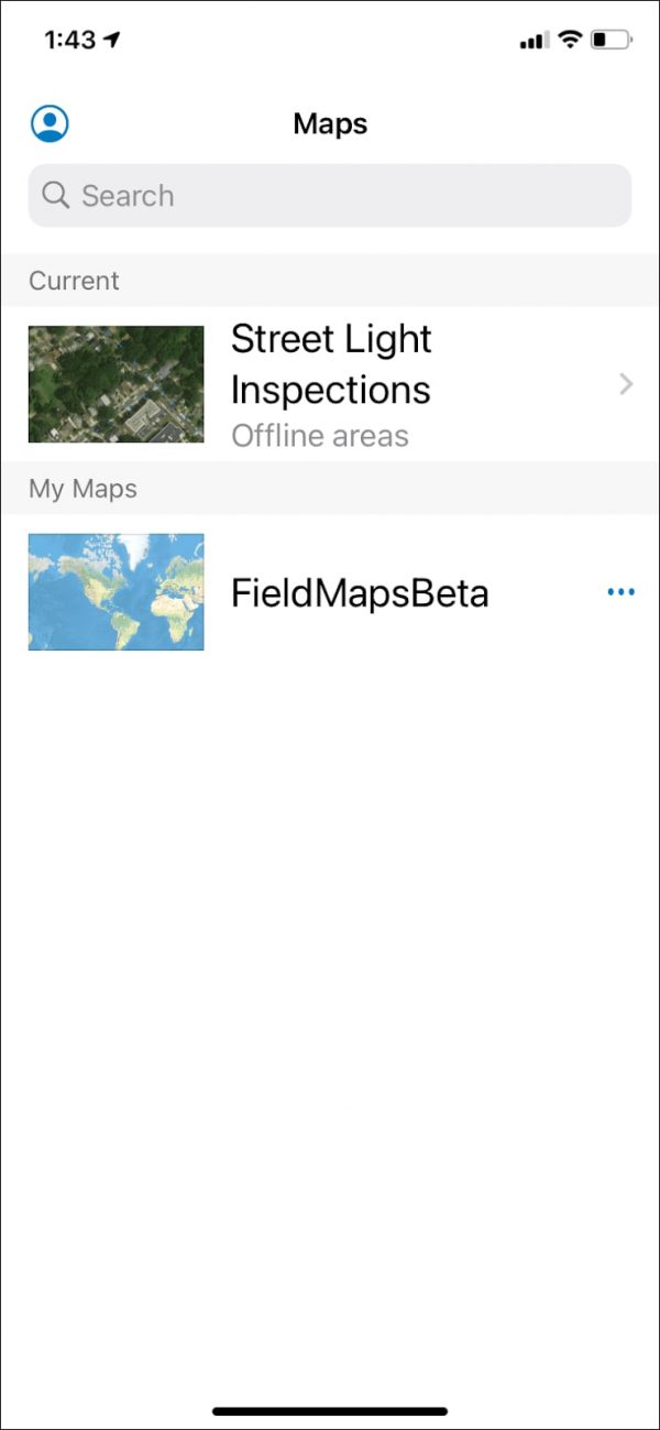
Now that we have created, configured, and saved our map and smart form for field use, you are ready to deploy Field Maps! Once downloaded, users will be able to see maps in their content, or search for maps to use in Field Maps. If map areas have been configured for Offline Mode, users are able to select from their offline map areas.

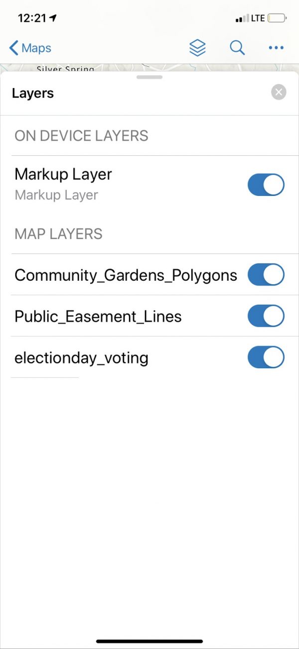
After selecting the correct map, users are taken to the home page to see the full extent of the map. From there, users can view and toggle on and off layers, search for a location, and go to a list to change their basemap, view the legend, bookmarks, and Markup on top of the map.


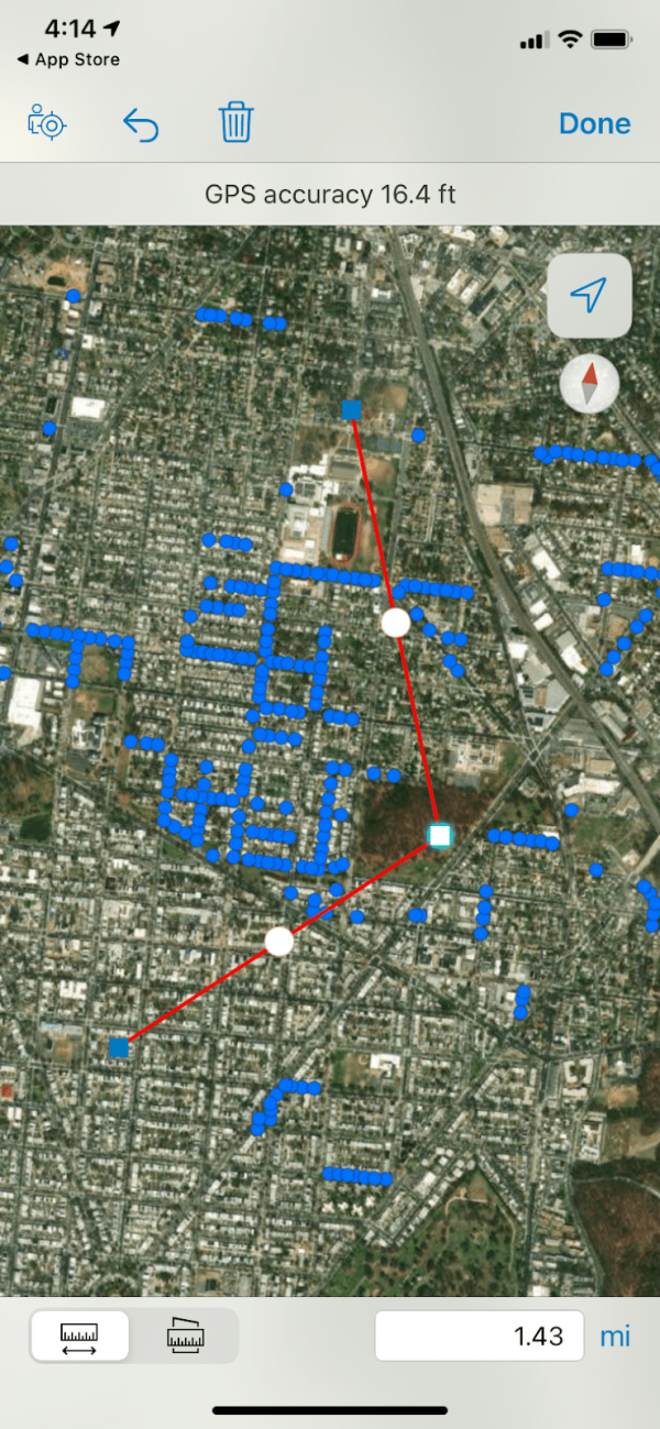
Once users have navigated to their working area, either through searching or from a bookmark, they are then able to measure and assess the length or area of the work site.
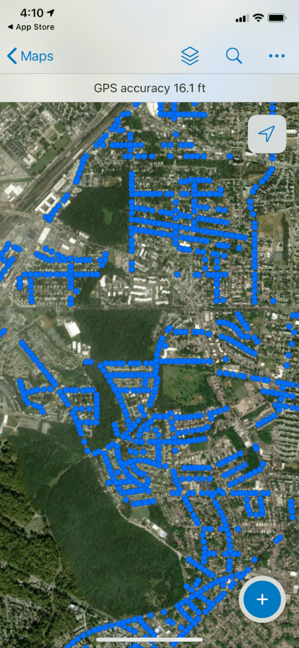
When users have navigated to their worksite, they can then begin to select points and update forms. By clicking on a point, users are given the option to edit, copy, get directions to, or collect at this location.
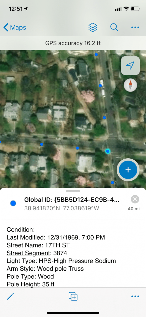
For our workflow, we edited the point and were given the option to update the point by filling out the form.
With all of the potential capabilities of ArcGIS Field Maps, the possibilities for integration into your field GIS workflows are limitless. To get a more in-depth demo of Field Maps, as well as configuration of maps and layers, please watch the video below.
Are you interested in utilizing the latest technology in GIS? We’re here to help! Explore our wide range of GIS professional services, and reach out to our industry experts to start a conversation about your unique needs today. You can now download this premier app for iOS and Android devices on the App Store and Google Play.
")