Award winning.
A proud
Esri
business partner.
Together
we can do anything!

Conservation Consulting & Planning

Together we can positively impact land conservation efforts

GIS development experts ready to join your team

We're here to help you take full advantage of the power of GIS

GIS for Targeted Conservation Efforts

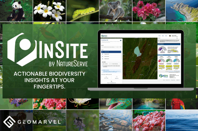
Improve your conservation efforts with GIS data and analytics. Observe, measure, and monitor various environmental factors with precise data collection, information products, and data analytics. Create models to visualize ever-changing data, to gain a deeper understanding of trends, and make educated predictions of future trends.

GIS allows visualization of elevation profiles and water flows. Which coincided with the movements of poachers down from higher elevations, as they followed the paths of water downhill. No matter your conservation goals, GIS is here to help you achieve them.

Optimizing Your Conservation Efforts

ArcGIS StoryMaps

Tell your conservation story with immersive information products. Combine interactive maps, text and media to create compelling experiences to share with the world.

ArcGIS Platform Support

Are you leveraging ArcGIS Pro, ArcGIS Enterprise or ArcGIS Online to analyze your data? These powerful technologies can help you manage vast amounts of data to generate captivating visuals.

Custom Web & Mobile Apps

We build truly secure and scalable web and mobile apps. From initial idea to final deployment, we can develop the web or mobile GIS app you’ve been dreaming of.

Mapping & Assessment

Map and analyze the current state of affairs. Generate a full view of past and present data to reveal how things have changed over time. Change detection provides a better understanding of how conservation efforts are impacting an area.

Field Data Collection

Power up your field data collection with the right tools. Field mobility apps will improve and streamline your field workflows.

GIS Analysis

Dig into your data with proper GIS analysis, to reveal key trends and patterns in the data. Visualize changes over time to develop a full understanding of what’s happening in your conservation area of interest.

Our Recent Work:

Pushing boundaries to create

GIS Development Experts

Leverage our team of industry experts. We’ll help you navigate and implement your GIS solutions by acting as a natural extension of your team. We can make your next big GIS idea come to life.

Partner With Us

Reach out to start a conversation about your unique GIS needs today.

Learn how GeoMarvel can help your organization