Award winning.
A proud
Esri
business partner.
Together
we can do anything!

Fish & Wildlife

Taking wildlife management to the next level

GIS development experts ready to join your team

We're here to help you take full advantage of the power of GIS

Monitor and protect with geospatial strategies

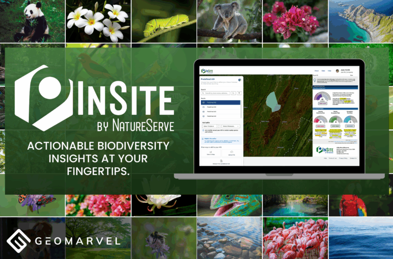
GIS is an essential aspect in the monitoring and protection of many species throughout the world. In-depth habitat analysis has become widely available with the onset of GIS technologies such as remote sensing, and visualizing environmental change via satellite imagery over time.

For example, GIS helps build predictive models for vehicle collisions with wildlife, and can aid in selecting barrier locations to prevent future collisions. GIS also assists in selecting optimal locations for wildlife corridors, where animals can safely pass through high traffic areas, with minimal human interference. GIS has a prominent role to play in wildlife management, and will help create smarter methods for the protection and conservation of all species.

Locate, Manage and Protect Sensitive Wildlife

GIS Analysis & Data Processing

We’ll help you structure, process and analyze your data. Take your data beyond columns and rows by adding the power of WHERE. We leverage GIS as an effective problem solving tool for any situation.

Workforce & Asset Management

Assets and field crews are inherently location-based. Gather the data, put the points on a map, and leverage field mobility apps to coordinate your field work.

Web & Mobile App Development

We build truly secure and scalable web and mobile apps. From initial idea to final deployment, we can develop the web or mobile GIS app you’ve been dreaming of. Streamline your organization with smarter workflows.

Information Products

Tell your conservation story with immersive information products like ArcGIS StoryMaps. Combine interactive maps, text and media to create compelling experiences to share with the world.

Field Data Collection

Field mobility apps can streamline your field data collection. Fish and wildlife conditions and data points can be collected on-the-fly by your entire team, and sent back to the office for deeper analysis.

ArcGIS Platform Support

Are you leveraging ArcGIS Pro, ArcGIS Enterprise or ArcGIS Online to analyze your data? These powerful technologies can help you manage vast amounts of data to generate captivating visuals.

Our Recent Work:

Pushing boundaries to create

GIS Development Experts

Leverage our team of industry experts. We’ll help you navigate and implement your GIS solutions by acting as a natural extension of your team. We can make your next big GIS idea come to life.

Partner With Us

Reach out to start a conversation about your unique GIS needs today.

Learn how GeoMarvel can help your organization