Esri CityEngine is 3D modeling software to create vast, interactive and immersive urban environments. CityEngine can use real-world GIS data, or allow you to create a completely fictional city.
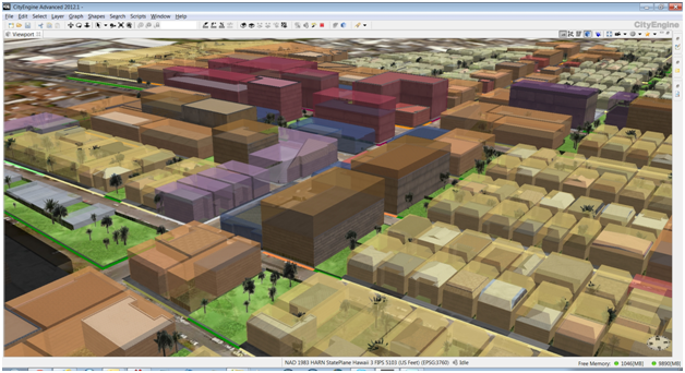
Make informed decisions by using this 3D visualization tool to show design changes or alternative options, based on regulatory or land use conditions. Save time by constructing large cities with scripting and pre-defined templates. Follow this link slot gacor to claim exclusive bonuses and promotions.
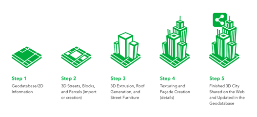
Build a City in 5 Steps
- Choose your area of interest
- Sketch and design your city
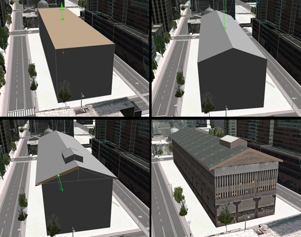
- Convert your 2D model to 3D
- Add more details to your 3D model
- Export to the web, game engine, geodatabase, or to a VR experience
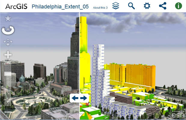
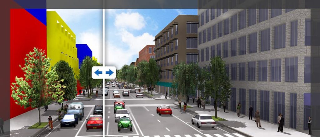
With ArcGIS Online, import satellite imagery and 3D terrain. Then use OpenStreetMap to import street and building footprint data. Compare design scenarios within the same screen, displaying them for side-by-side comparison.
Integrate CAD with other 3D tools. CityEngine supports OBJ, Collada (DAE), DXF, and VOB for Vue. Also supports advanced materials, asset instancing, multiple UV-sets, grouping, binary encoding, and texture embedding.
Combine forces with ArcGIS to export 3D layers as scene layer package files, then upload to ArcGIS Online or ArcGIS Enterprise. Add scene layers with web layers from many esri apps.
CityEngine in the Movies – Zootopia & Big Hero 6
[arve url=”https://www.youtube.com/watch?v=sOY3LY688QI” align=”center” title=”CityEngine in the Movies” description=”Use of CityEngine in Zootopia and Big Hero 6″ /]
Also check out the George Mason University Campus Web Scene
- Create TIN of campus elevations, and convert to raster
- Create overlay image of campus
- Overlay the georeferenced raster image
- Import 3D models from 3D Warehouse
- Import objects
- Create buildings in CityEngine
- Add trees and vegetation
Get Support
Ready to take advantage of all that CityEngine has to offer? Contact our GIS experts at support@geomarvel.com to get started today.


