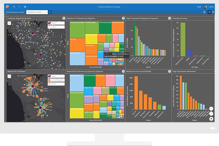
As a part of the esri geospatial cloud, Insights for ArcGIS offers web-based data analytics that merge location information with open data science and business intelligence. Explore data with advanced spatial, statistical, predictive, and link analytics, to answer questions you didn’t know to ask.

Bring in your data
Directly connect to your data, explore data via drag-and-drop operations, and visualize data as maps, charts, and tables.
Find answers in your data
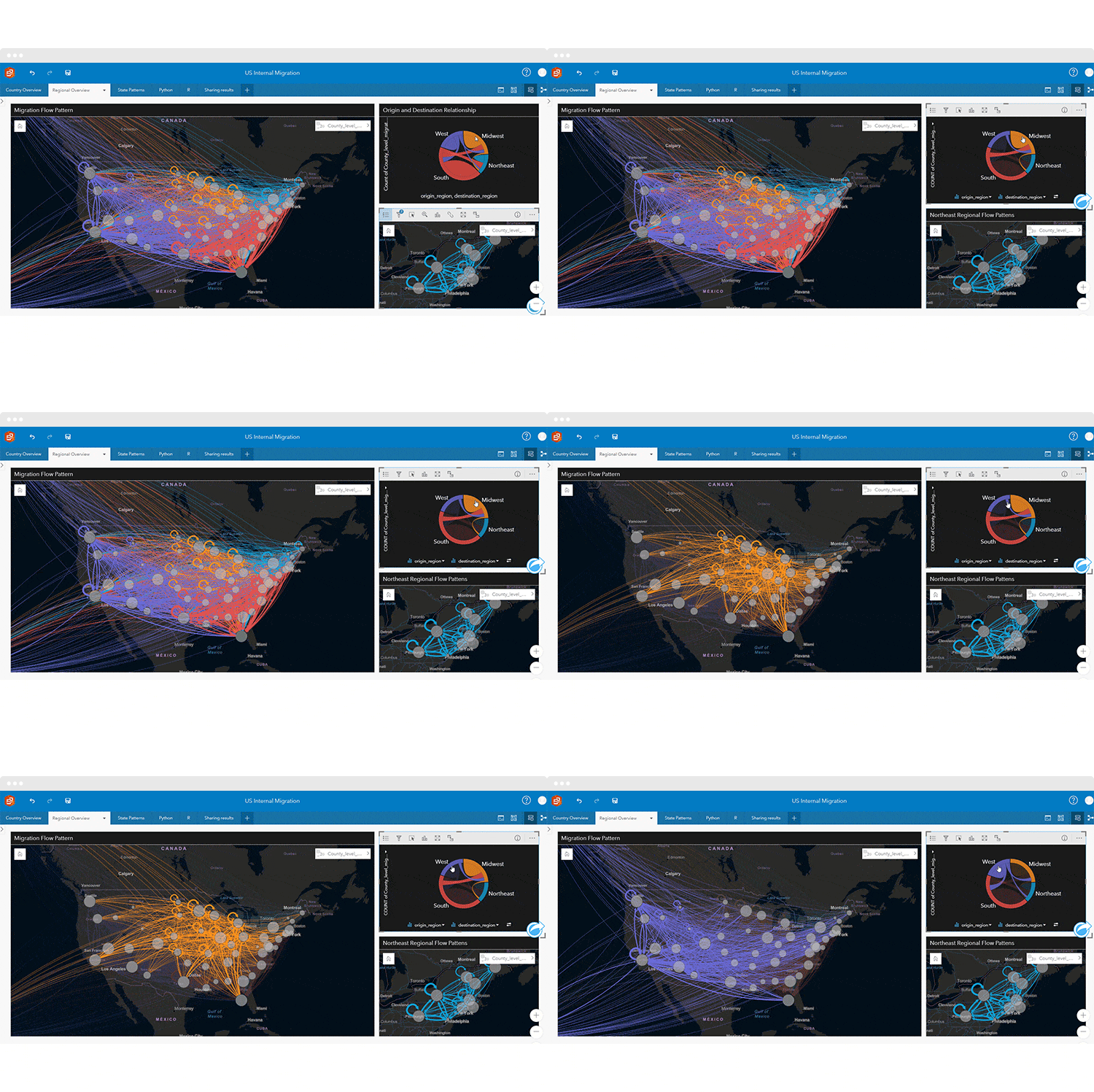
Analyze data with ease, answer important questions with powerful analysis tools, aggregate data on the map to reveal outliers and hot spots, make predictions, join data spatially, and show relationships between data types.
Show your work
Easily communicate how you arrived at your results, share a step-by-step model of your analysis methods, or create an interactive data story to inform stakeholders.

Insights for ArcGIS in action
Experience the power of Insights for ArcGIS. Try Insights for ArcGIS by diving into this interactive report on branch locations in Toronto.
Explore these case studies outlining the power of Insights
- Analyzing Submarkets to Understand Tourism
- Driving Economic Growth with Location Intelligence
- Analyzing Cityworks Asset Management for Making Business Decisions
Esri Training Resources
Dive into the vast library of esri training resources to gain hands-on experience with Insights for ArcGIS. Unlock new insights through complete data analysis, and answer the questions you didn’t know to ask.
Get Support
Ready to leverage Insights for your data? Reach out to our industry experts to start a conversation today.


