The ArcGIS Living Atlas of the World has new layers to offer. The latest live data layer release includes new live feeds weather data. This new series of real-time weather maps and layers are hosted as feature services.
This free and open data continues to build upon Esri’s commitment to supporting emergency management and disaster preparedness around the world, as these new live weather data feeds do not require subscriptions. In addition, these living layers have been seamlessly integrated throughout the ArcGIS platform, streamlining the addition to workflows within ArcGIS Pro, ArcGIS Online, Insights for ArcGIS, Operations Dashboard, and more.
Let’s take a look at some of the newly available Living Atlas layers. Additional layers not pictured below include snowfall and ice reports from the National Weather Service.
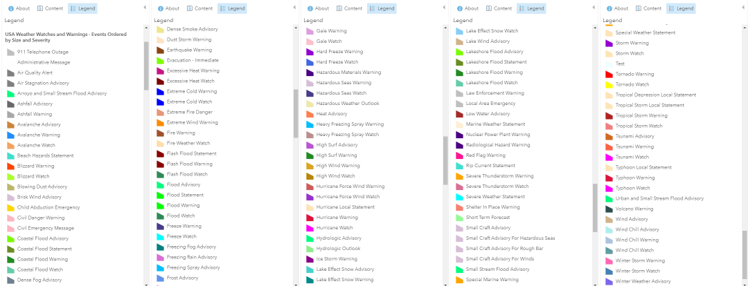
USA Weather Watches and Warnings
This layer offers up a wide variety of color-coded weather watches and warnings, ordered by size and severity.
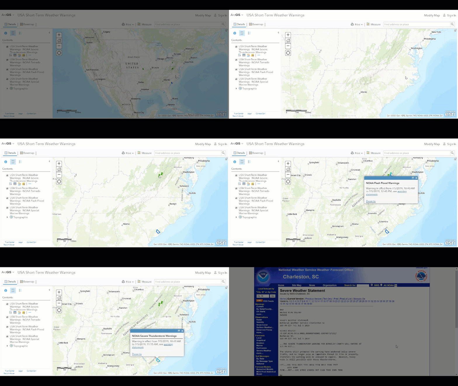
USA Short-term Weather Warnings
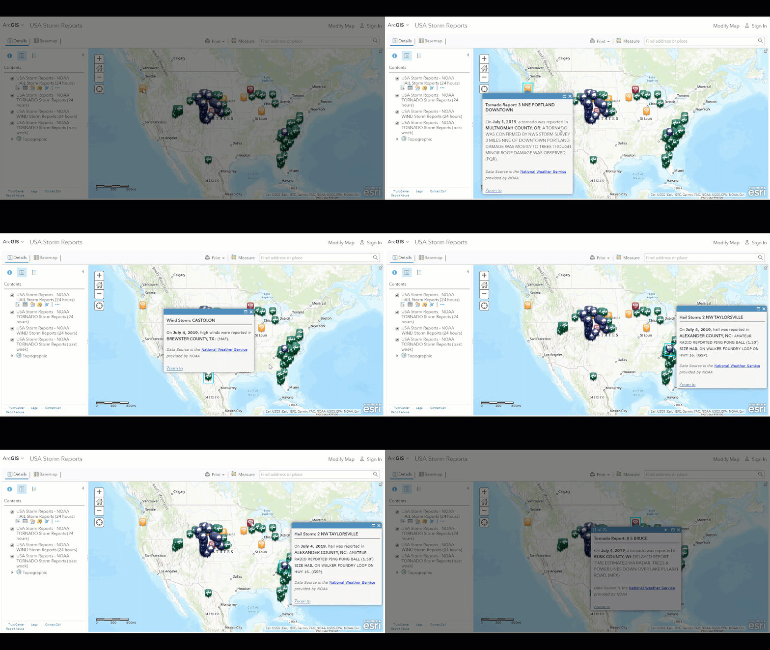
USA Storm Reports
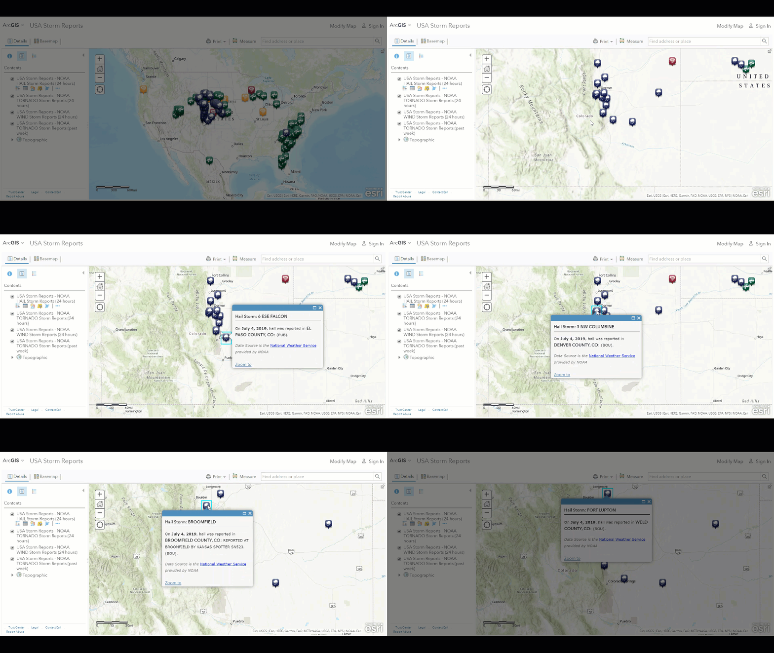
And here’s proof of the 4th of July hail we experienced all along the front range of Colorado!
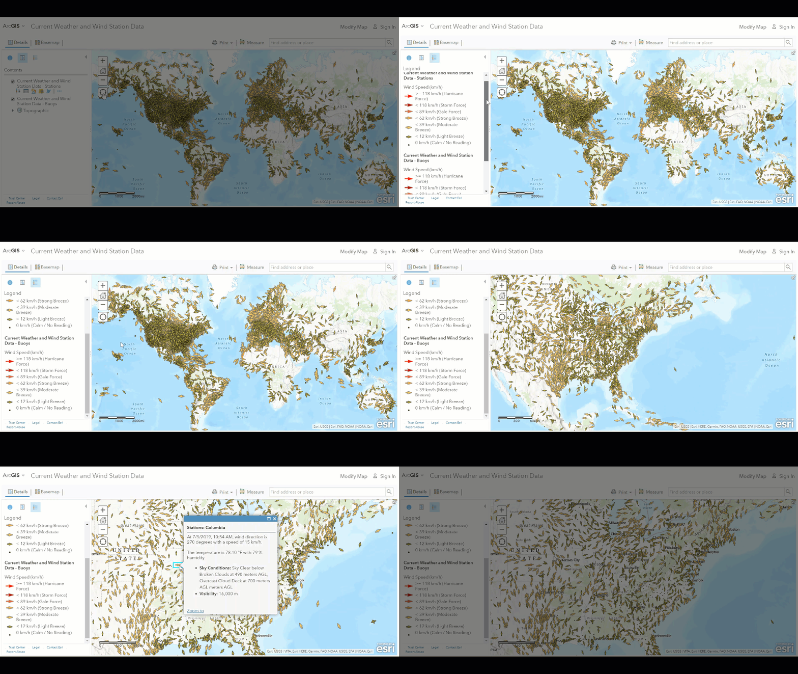
Current Weather and Wind Station Data
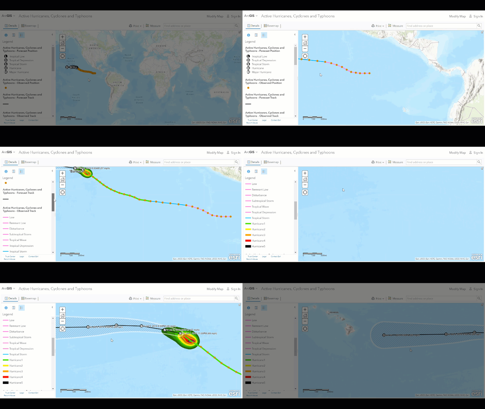
Active Hurricanes, Cyclones and Typhoons
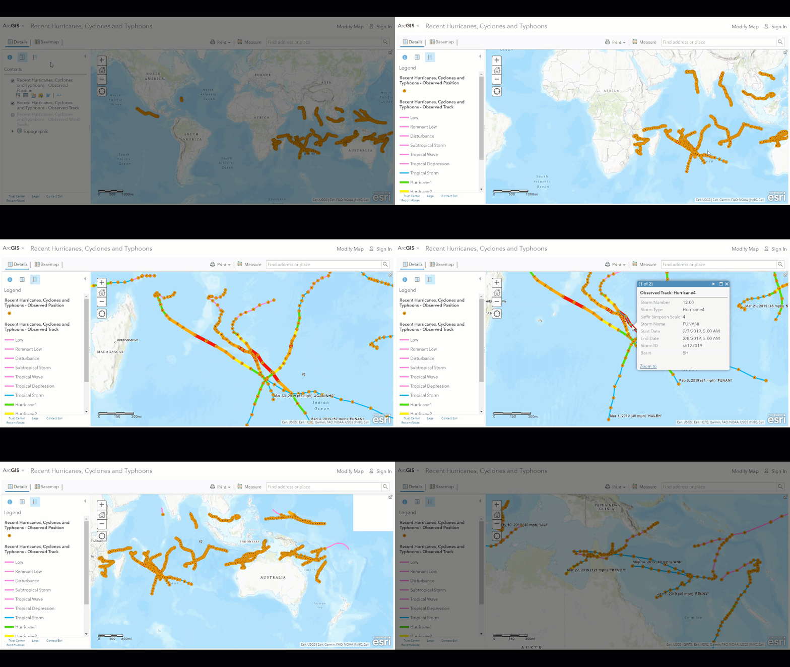
Recent Hurricanes, Cyclones and Typhoons
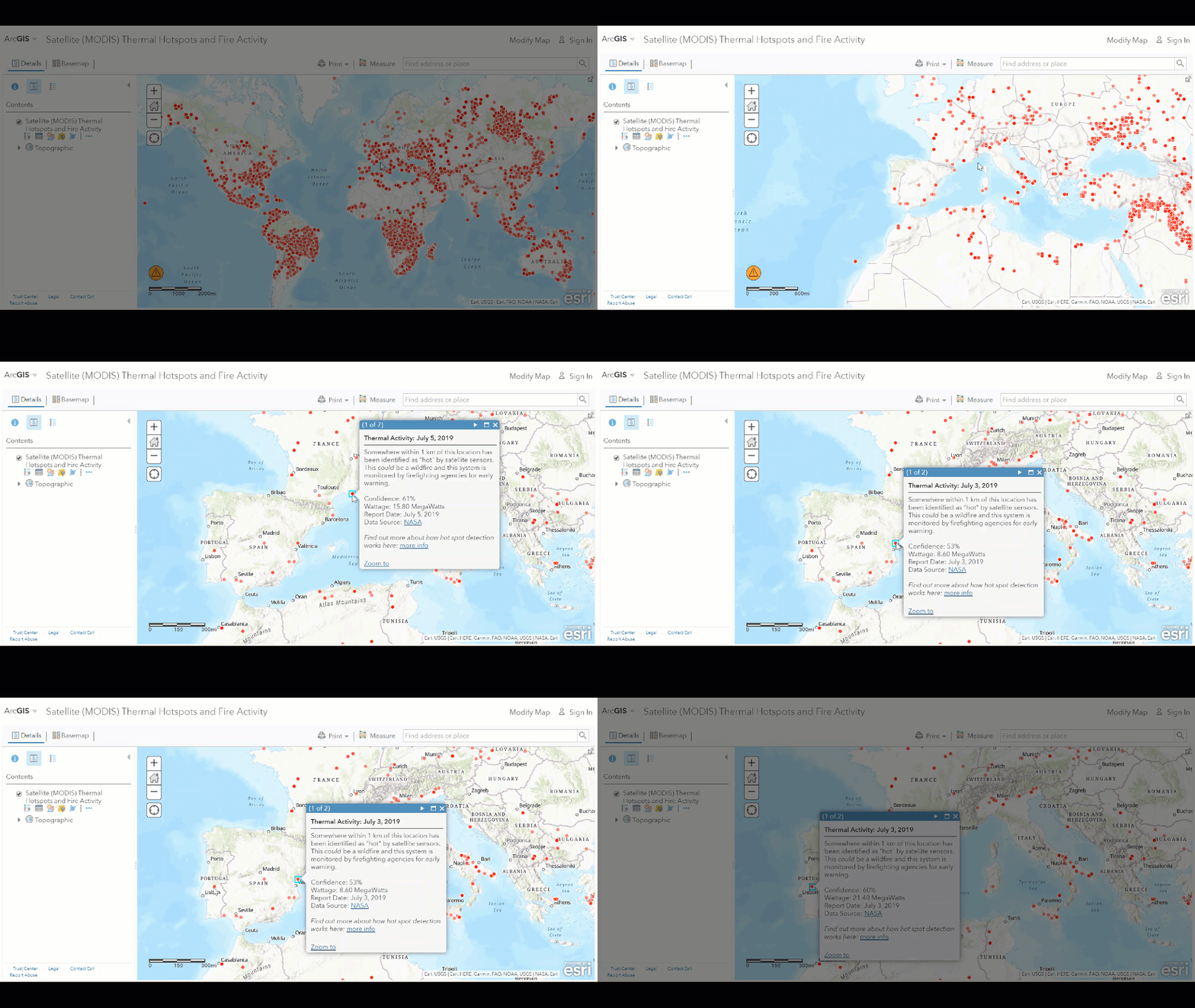
Satellite (MODIS) Thermal Hotspots and Fire Activity
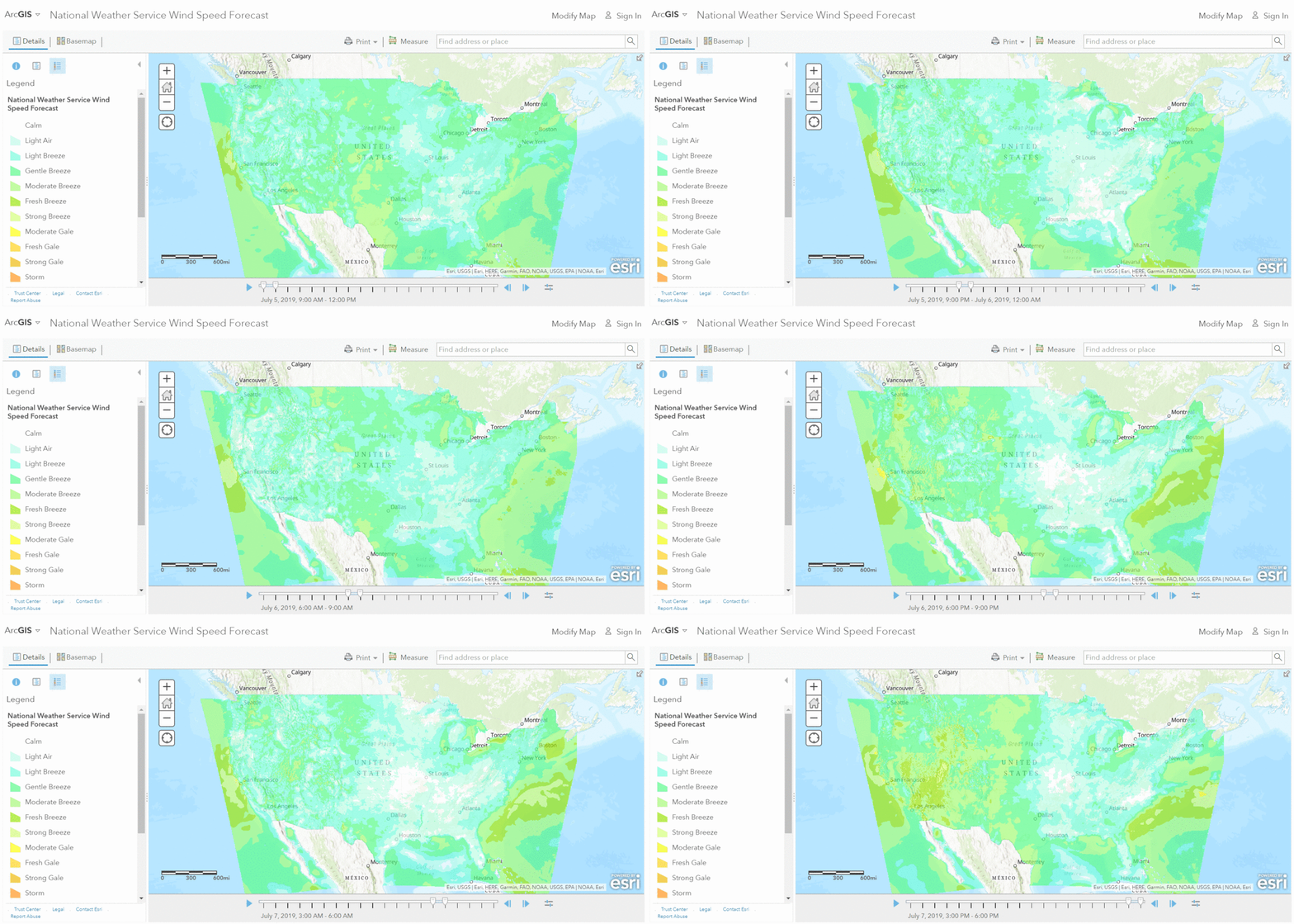
National Weather Service Wind Speed Forecast
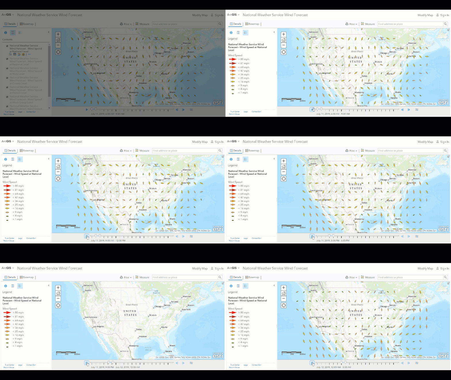
National Weather Service Wind Direction Forecast
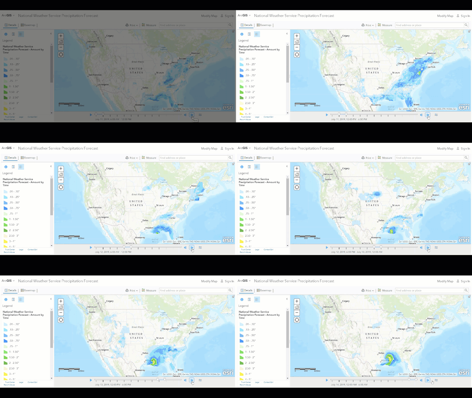
National Weather Service Precipitation Forecast
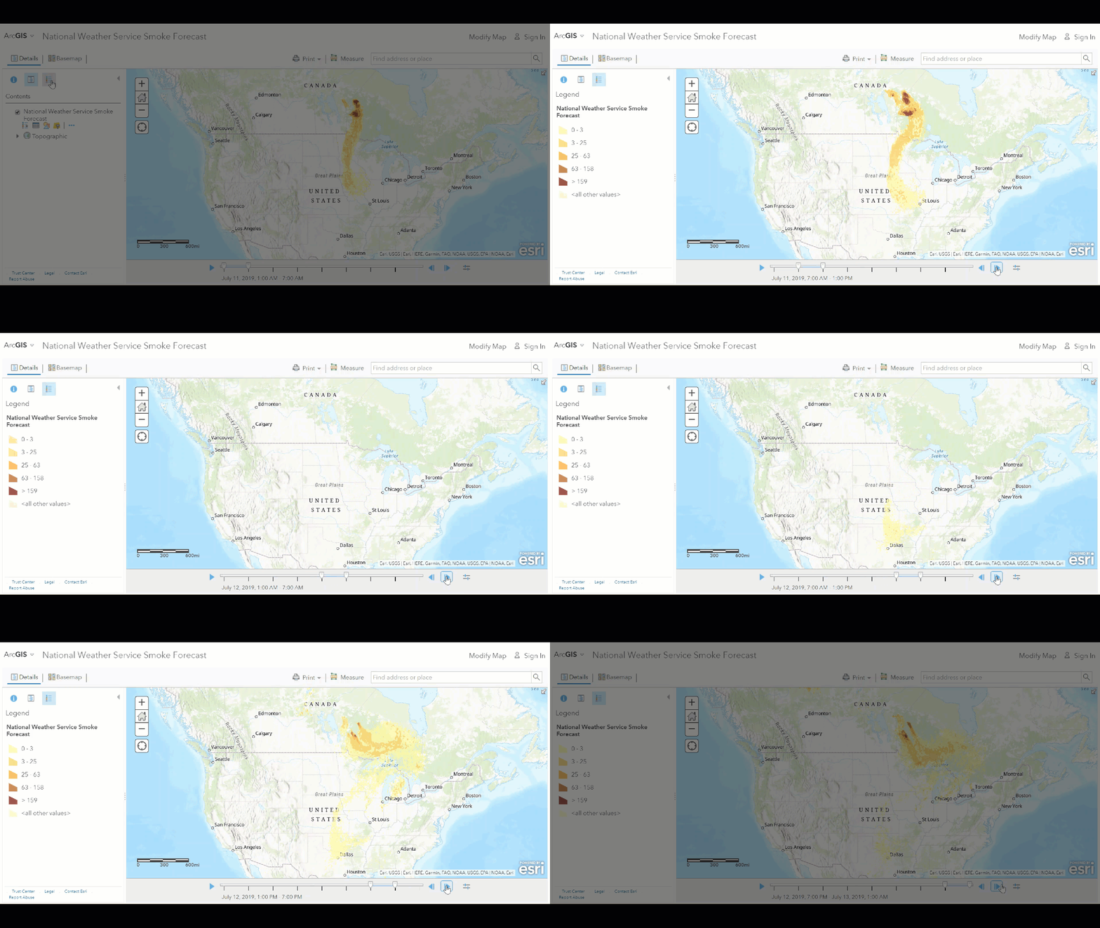
National Weather Service Smoke Forecast
These new Living Atlas layers offer even more live data to leverage in your GIS workflows and analysis. By incorporating and monitoring live weather data feeds, you can create more comprehensive dashboards and gain deeper insights through your data analysis.
Future releases for live weather data feeds will include recent earthquakes events, USA fire activity, and USA drought activity. Just a few more living layers to assist your GIS and emergency management needs.
Ready for more?
Check out all the amazing living layers offered by Esri’s Living Atlas of the World, learn more about Esri’s Disaster Response Program, explore the latest and greatest from the Esri Disaster Response Twitter page, and gain global awareness by monitoring the Global Situational Awareness App.
Get Support
Stay safe and prepared with live weather data feeds now available from Esri’s Living Atlas. Want to create a dashboard or custom web or mobile application? We can help! Reach out to our GIS development experts to discuss your ideas and make them a reality!


