")
ArcGIS Field Maps is an all-in-one field application that allows users to streamline field workflows and take their maps anywhere. Field Maps was created to merge the previous Esri field collection apps (ArcGIS Collector, Explorer, and Tracker) to create a more user-friendly and all-inclusive app. The web version of Field Maps allows you to configure maps for the field, while the mobile application allows you to view maps online or offline, collect data, and track user locations in real-time.
Discover our latest GeoMarvel Live! demonstration, where we review some of the latest features and functionalities that are now available for the ArcGIS Field Maps app (video above). And review our previous blog on ArcGIS Field Maps (Part 1) to help get you started.
The Field Maps web app allows organizers to view and configure maps that the mobile workers will use in the Field Map mobile app. Users are able to configure the map based on the needs of your organization and mobile workers. Some of the attributes that can be configured include the ability to manage map areas, the creation of forms, the addition of geofences for location alerts, offline preparation, and specific sharing options. ArcGIS account requirements state that the Field Maps web app supports ArcGIS Enterprise 10.8.1 and later, but downloading the latest version is encouraged.
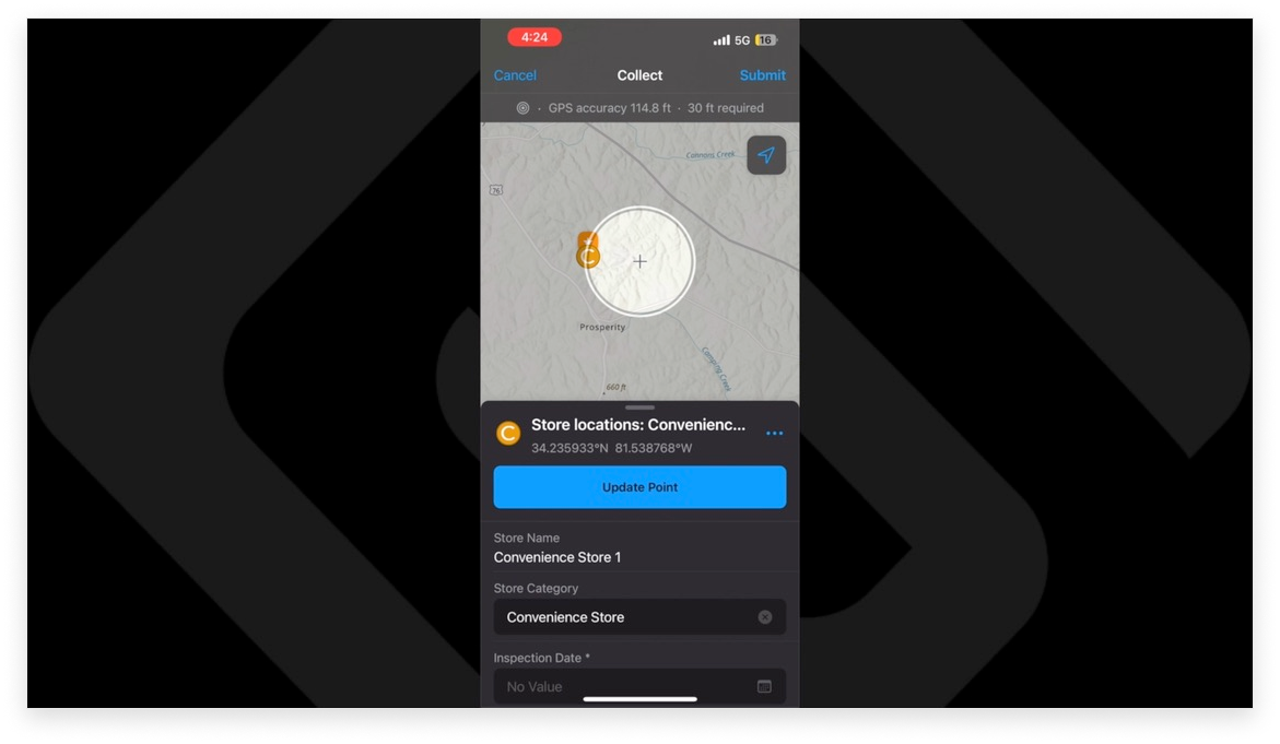
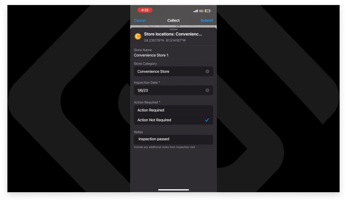
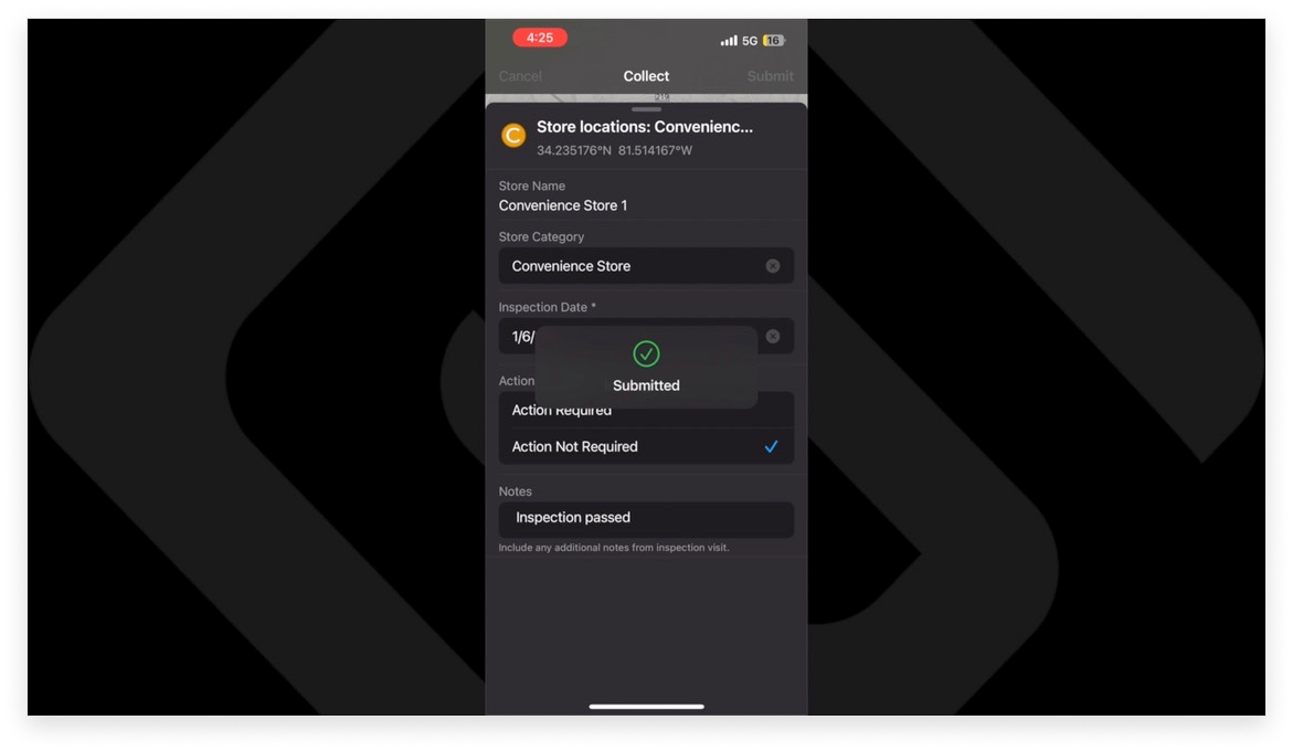
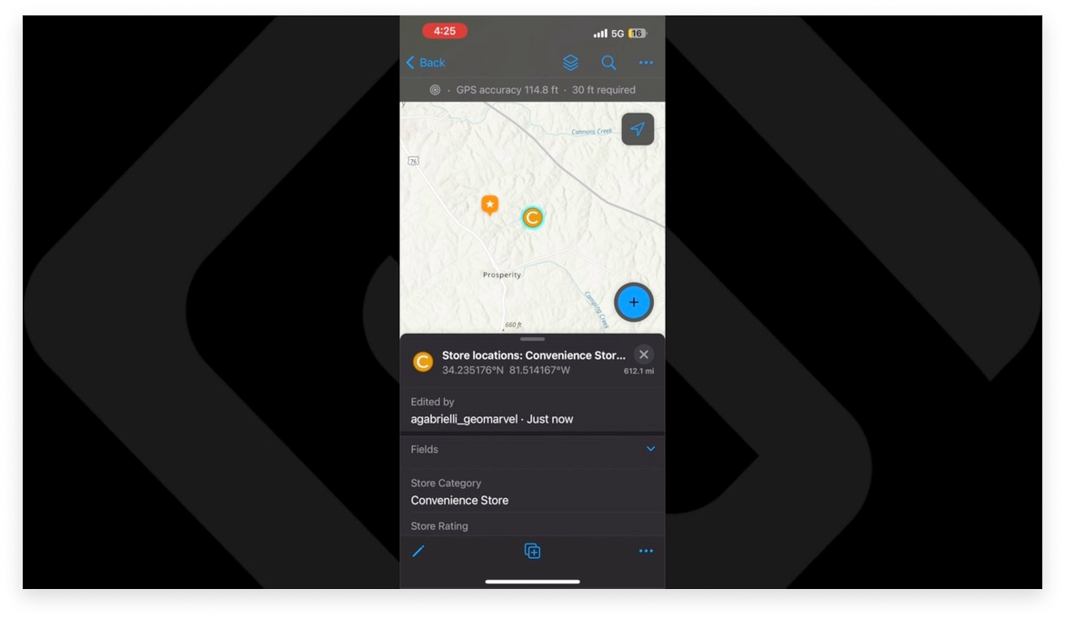
Map-driven forms fuel the ArcGIS Field Maps mobile app, as it allows users to view maps, collect data, and share their location. The designed map can be used on any mobile device with the correct specification. Some of the features on display in the mobile app include the ability to prepare for offline data collection, automatically capture location while traveling, snap to existing assets or observations, capturing offset locations, along with the ability to enable location alerts. It should be noted that the Field Maps mobile app supports ArcGIS Enterprise 10.6.1 and later, but it is encouraged to update to the latest version.
")
Download ArcGIS Field Maps from the Apple App Store or from the Google Play Store to get started with all of your field mapping workflow needs!


Are you interested in utilizing ArcGIS Field Maps, or some other type of GIS technology? We’re here to help! Explore our wide range of GIS professional services, and reach out to our industry experts to start a conversation about your unique needs today!