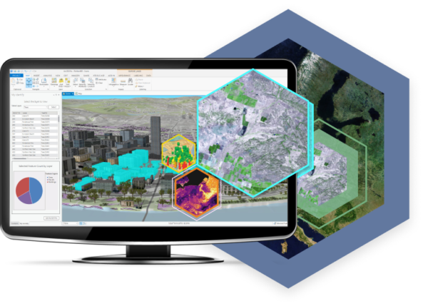
ArcGIS Image for ArcGIS Online – also known as ArcGIS Image Online – is a new software as a solution (SaaS) that provides users with a powerful way to host, analyze, and stream imagery and raster collections using the ArcGIS Online cloud. ArcGIS Image Online is the latest expansion to the ArcGIS Image product line, a suite that includes: ArcGIS Image Analyst for ArcGIS Pro, ArcGIS Image Server for ArcGIS Enterprise, and ArcGIS Image Dedicated. Each of these provides specific tools and services that assist in imagery visualization, analytics, and management, no matter where your data lives.
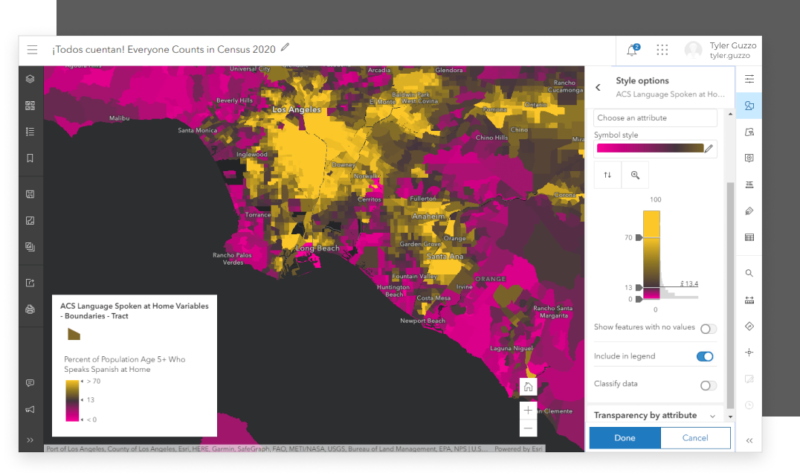
To begin hosting imagery and raster collections to ArcGIS Online, users will click on New Item to start the uploading process. Once collections have been hosted, users can perform image and raster analysis using ArcGIS Online’s Map Viewer web interface. A software that allows users to roam, zoom, and enhance the appearance of imagery and raster datasets. Users can then share the results and findings with all invested parties, controlling who can see what, and what they’re able to do with the data presented. These findings can be viewed through interactive apps, dashboards, reports, and Tiled or Dynamic services.


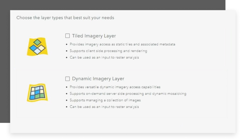
Tiled and dynamic layers can both be selected at the same time but the difference between the two is how they are going to be rendered. Tiled Imagery Layers provide immediate geographic context for your operational layers and can be generated from one or more image files. These images render right away for faster visualization and analysis. While Dynamic Imagery Layers render at a slower pace but support on-demand server-side processing, dynamic mosaicking, and on-the-fly processing for image management purposes. These layers can be added to Map Viewer, where you can query and analyze data.
It’s up to the user to decide the proper publishing method, based on whatever capabilities you may need. It should also be noted that an ArcGIS Image Online license is required to publish hosted tiled imagery layers to ArcGIS Online. Other actions that can be performed throughout ArcGIS Image Online include the ability to perform analysis for: image classification, change detection, or suitability analysis to reveal information from images.
In summary, there are four main capabilities of ArcGIS Image Online that users can take advantage of. The ability to Store Imagery into ArcGIS Online, the ability to access imagery as either tiled or dynamic, and finally the ability to analyze this imagery. Take advantage of this new SaaS software, and discover what ArcGIS Image for ArcGIS Online can do for you!

Are you ready to start leveraging ArcGIS Image for ArcGIS Online for your organization’s needs? No matter what your goals may be. GeoMarvel can help! Discover our professional GIS services to jumpstart analysis today. Reach out to start a conversation about your unique GIS needs!