
No matter your industry, GIS technology offers a new way of interpreting your data (beyond mere rows and columns). Put your data on the map to reveal true insights about your successes, shortcomings, and overall workflow. Implement GIS in your business model to start leveraging the power of where.

Leverage GIS for targeted marketing efforts based on select demographics.
Read More
Sophisticated geospatial technology helping you grow your assets. Open the door to spatially-driven insights.
Read More
Improve productivity, cut costs, and track assets in real time. Business intelligence starts with spatial awareness.
Read More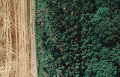
Improve conservation efforts with GIS analysis. Observe, measure, and monitor all the factors impacting an area of interest.
Read More
Track the entire operation from the office or the field, and maintain awareness via spatial analysis to mitigate health hazards and environmental risks.
Read More
Maintain comprehensive awareness, and guide public safety in real-time during rapidly changing situations.
Read More
Leverage the growing GIS field to bring subjects to life with interactive maps, for a fresh look at everyday issues.
Read More
Location awareness, site selection, situational intelligence. Leverage GIS to develop smarter energy infrastructure and daily workflows.
Read More
GIS streamlines the monitor and protection of vulnerable species with location awareness and in-depth analysis to visualize change over time.
Read More
Collect, manage, and navigate vast amounts of data at the national, state, and local levels. Making more informed, data-driven decisions starts with GIS.
Read More
Streamline workflows, learn from targeted analysis, merge demographic with location and reveal key vulnerabilities. GIS puts the power in your hands to make a positive impact.
Read More
GIS provides a framework to gather, manage, and analyze data. Learn more from your data points by analyzing the spatial relationships to reveal hidden patterns in your network.
Read More
Location-based assets call for geospatial intelligence. GIS insights reveal the true risks of an area.
Read More
GIS tools provide a platform for modeling, visualization, collaboration, and analysis of land management decisions. Empowering more informed decisions with geospatial insights.
Read More
Identify market threats and opportunities with valuable GIS insights, to improve your decision making with smart maps, spatial analytics, real-time tracking, and situational awareness.
Read More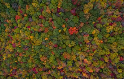
GIS is an essential tool for managing the earth’s resources. Spatial analysis offers insights to support effective policies that can ensure the protection and sustainable management of our natural resources.
Read More
GIS can increase your team’s coordination abilities and effectiveness in the field, to make informed decisions based on real-time data.
Read More
GIS allows visualization and analysis of all existing data in a single map, and it’s essential in locating new extraction sites, managing pipeline integrity, and forecasting potential spills to predict how a spill may impact the environment from ecological, social, and cultural standpoints.
Read MoreThe best opportunities are unveiled with GIS insight. Accurate data alone doesn’t tell the story — it’s important to consider what information you’re getting from the data, and how you use & analyze that data.
Read More
Capitalize on your spatial data with geospatial insights. Leverage our industry experts to boost your spatial awareness with big data analytics.
Read More
GIS provides new ways to visualize and promote location-based assets, opening the door to new ways to elevate the travel experience.
Read More
GIS provides your organization with high quality data, from planning & logistics, to operations & maintenance. Start leveraging the power of location-based intelligence.
Read More
GIS offers location intelligence to build systems that manage all assets, plan and forecast growth, improve response times with optimized routes, and reveal areas of vulnerability to fix issues before they arise.
Read More
GIS systems offer real-time monitoring, decision making, and streamline workforce optimization. GIS solutions can be used to gain insight for optimizing driving routes for waste collection to minimize costs and maximize efficiency, and for selecting optimal sites for waste collection points.
Read MoreLeverage our team of industry experts. We’ll help you navigate and implement your GIS solutions by acting as a natural extension of your team. We can make your next big GIS idea come to life.
Reach out to start a conversation about your unique GIS needs today.
Learn how GeoMarvel can help your organization