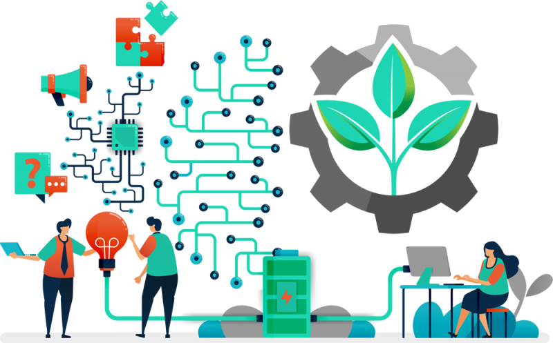
The agriculture industry has grown to leverage the power of GIS, as satellites, drones, web maps, and sophisticated models have opened the door to precision farming.
Farmers today are saving time, money, and environmental stress, by gathering valuable information about soils, weeds, nutrients, weather, insects, disease, climate, and following up with actionable steps. Crops are location-based assets, so it’s a natural relationship with GIS technologies.
You have the data, now what? Let’s organize and structure your data so we can begin to learn from it.
Assets and field crews are inherently location-based. Gather the data, put the points on a map, and leverage field mobility apps to coordinate your field work.
Detect and monitor the physical characteristics of your crops and soils. Forecast crop production, assess damage or progress, identify crop types, determine crop conditions, pinpoint planting and harvest dates, monitor and estimate crop yields, identify pests and disease, estimate soil moisture, detect nutrient deficiencies, precision farming, crop health analysis.
Map and assess your past, present, and future crop conditions. Generating a full view of your land can reveal trouble spots for targeted action.
Field mobility apps can streamline your field data collection. Crop conditions and images can be collected on-the-fly by your entire team.
Remove the uncertainty. GIS can help you better understand your practices, crop yield estimates, soil health, erosion remediation, and generally deliver more reliable and accurate crop estimates.
Leverage our team of industry experts. We’ll help you navigate and implement your GIS solutions by acting as a natural extension of your team. We can make your next big GIS idea come to life.
Reach out to start a conversation about your unique GIS needs today.
Learn how GeoMarvel can help your organization