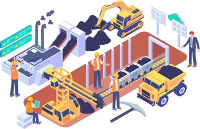
Spatially analyze construction locations to identify and mitigate potential risks. Leverage drone technologies to get high resolution, up-to-date imagery for the entire construction site. Track the entire operation from the office or the field, and maintain awareness via spatial analysis to mitigate health hazards and environmental risks.
Integrate GIS for streamlined communication and strategic emergency evacuation plans, to test various emergency scenarios and determine the quickest, safest escape routes. Integrated with dust accumulation models, GIS can reveal potential outcomes of a disastrous event. GIS is a versatile tool that gives a fresh look at your entire operation.

Leverage our team of industry experts. We’ll help you navigate and implement your GIS solutions by acting as a natural extension of your team. We can make your next big GIS idea come to life.
Reach out to start a conversation about your unique GIS needs today.
Learn how GeoMarvel can help your organization