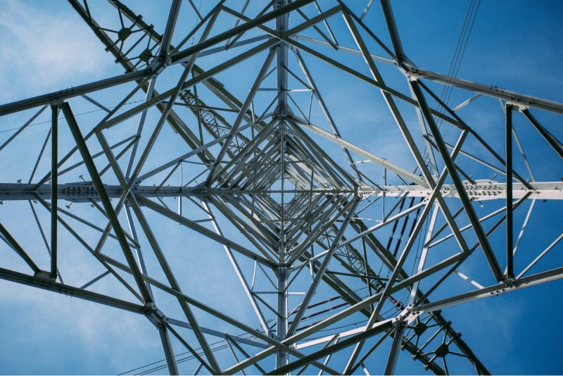
GIS is being extensively used in the quest to find and develop renewable energy resources, such as wind, solar, geothermal, and biomass energy. Check This Out! GIS also plays an important role in the search for the best locations (considering natural and cultural resources) and to find the best corridors for transmission and distribution of resources.
The energy industry encompasses a wide variety of resources including solar, wind, geothermal, hydrogen, tidal, wave, hydroelectric, biomass, nuclear, and fossil fuels. No matter the resource, they are all location-based assets. GIS technology is supporting and underlying the progress of this monumental change. GIS is not only improving the way we produce and deliver energy, but also changing the way we view and utilize our earth’s resources.
We’ll help you structure, process and analyze your data. Take your data beyond columns and rows by adding the power of WHERE. We leverage GIS as an effective problem solving tool for any situation.
Are you leveraging ArcGIS Pro, ArcGIS Enterprise or ArcGIS Online to analyze your data? These powerful technologies can help you manage vast amounts of data to generate captivating visuals.
Utility networks provide a highly detailed framework to model entire utility systems including gas, electric, telecommunications, water, storm water and wastewater. Designed to visualize every component of your network, utility networks empower you to build accurate models that mimic real-world interactions.
Manage your field crews with robust mobile app solutions like Workforce for ArcGIS. Reduce reliance on paper by going digital, resulting in more accurate data and improved productivity, all while saving time and money.
We build truly secure and scalable web and mobile apps. From initial idea to final deployment, we can develop the web or mobile GIS app you’ve been dreaming of. Streamline your organization with smarter workflows.
A viewshed analysis determines the range of visibility from a given location. This may be used for locating communication towers or identifying the view from heavily trafficked areas like roads and walkways.
Leverage our team of industry experts. We’ll help you navigate and implement your GIS solutions by acting as a natural extension of your team. We can make your next big GIS idea come to life.
Reach out to start a conversation about your unique GIS needs today.
Learn how GeoMarvel can help your organization