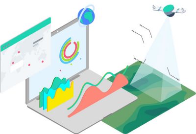
Simplify public access to land records by maintaining digitally accurate and up-to-date information for the land in your area. Move away from the old paper methods, and bring your land management online with GIS technologies. GIS tools provide a platform for modeling, visualization, collaboration, and analysis. With multiple criteria evaluation (MCE), land management becomes an interactive task, allowing for the weighting of various criteria based on importance.
GIS as a land management tool allows for the changing of variables on-the-fly, to immediately visualize the implications of changes. The ability to rapidly alter and analyze a wide variety of land use options, is why GIS has become imperative to land management. Make better and more informed decisions with geospatial insights.

Dig into your data with proper GIS analysis, to identify key trends and patterns in the data. Visualize data points beyond rows and columns in a spreadsheet, to reveal the hidden patterns in your data.
We build truly secure and scalable web and mobile apps. From initial idea to final deployment, we can develop the web or mobile GIS app you’ve been dreaming of.
Manage, edit and share data across desktop, web and mobile platforms. Build out your parcel network to streamline your land management efforts.
Are you leveraging ArcGIS Pro, ArcGIS Enterprise or ArcGIS Online to analyze your data? These powerful technologies can help you manage vast amounts of data to generate captivating visuals.
Let’s build a custom view of your entire operation. With a single comprehensive view, decision makers can stay up to date and informed with the situation in real time.
Managing your project is all about putting the puzzle pieces together to properly align with your goals and project timeline. We’ll identify and solve potential pitfalls, and help you determine the best path forward for a successful project.
Leverage our team of industry experts. We’ll help you navigate and implement your GIS solutions by acting as a natural extension of your team. We can make your next big GIS idea come to life.
Reach out to start a conversation about your unique GIS needs today.
Learn how GeoMarvel can help your organization
