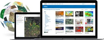
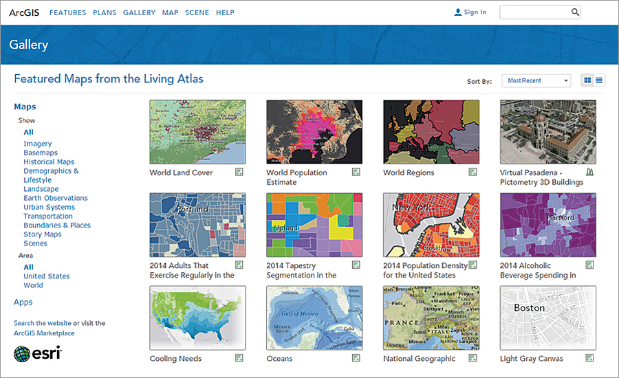
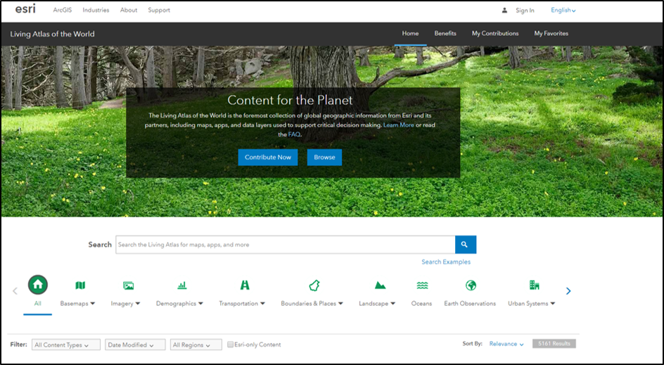
Living Atlas for ArcGIS is the foremost collection of geographic information on the planet, comprised of thousands of intelligent map layers, apps and data layers. The Living Atlas is continually growing, adding daily weather & traffic data, elevation, demographics, oceans, urban systems, imagery and much, much more.

Available through ArcGIS Desktop, ArcGIS Pro, ArcMap, ArcGIS Online, ArcGIS Enterprise and more esri products. You can access the Living Atlas for ArcGIS just about anywhere.
Build visuals by layering various Living Atlas data together, or by combining it with your own data. Browse all the available items in Living Atlas for ArcGIS. From World imagery, terrain and World street maps to active hurricanes and USA wildfire activity, find it all on the Living Atlas.

The main goal of the Living Atlas is to make all community data easily discoverable and accessible. The Living Atlas community consists of two participant types – contributors and curators. Contributors publish content to be included in the Living Atlas. Curators review, organize and approve content submitted by the contributors. Learn how you can contribute to help grow the Living Atlas for ArcGIS.
In 2014, the International Map Industry Association gave the Living Atlas three awards including Best Digital Map Product, Best Overall, and the Global Award. As the foremost source for global maps, apps, and data of all varieties, the value of the Living Atlas for ArcGIS for the GIS community cannot be overstated.

Living Atlas Examples
- Go on a World Cup 2018 Stadium Tour
- Check out the Biodiversity Hotspots of 2016
- Find Active US Weather Warnings and Watches
- Identify USA Oil Shale Basins
Get Support for Living Atlas
Ready to dive into the Living Atlas and all it has to offer? Contact our GIS experts at support@geomarvel.com to get started today.


