Award winning.
A proud
Esri
business partner.
Together
we can do anything!

Blog

Visualizing Earth Impact Craters with GIS

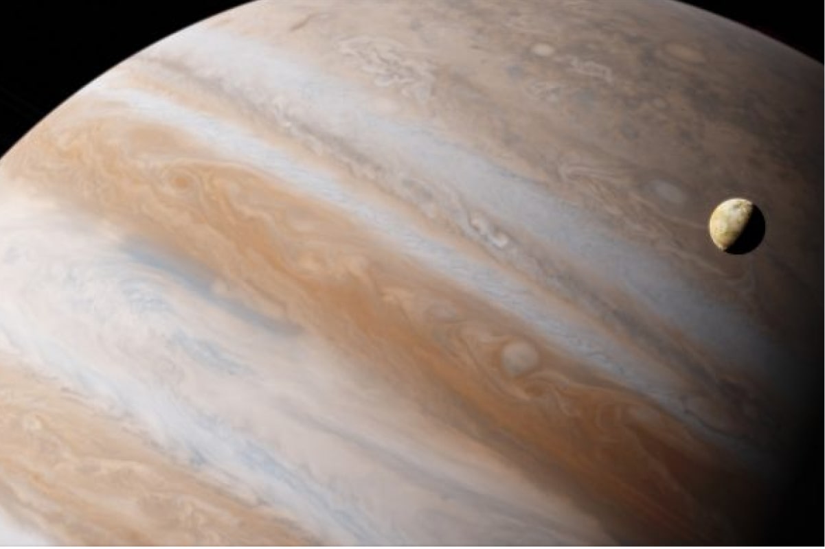
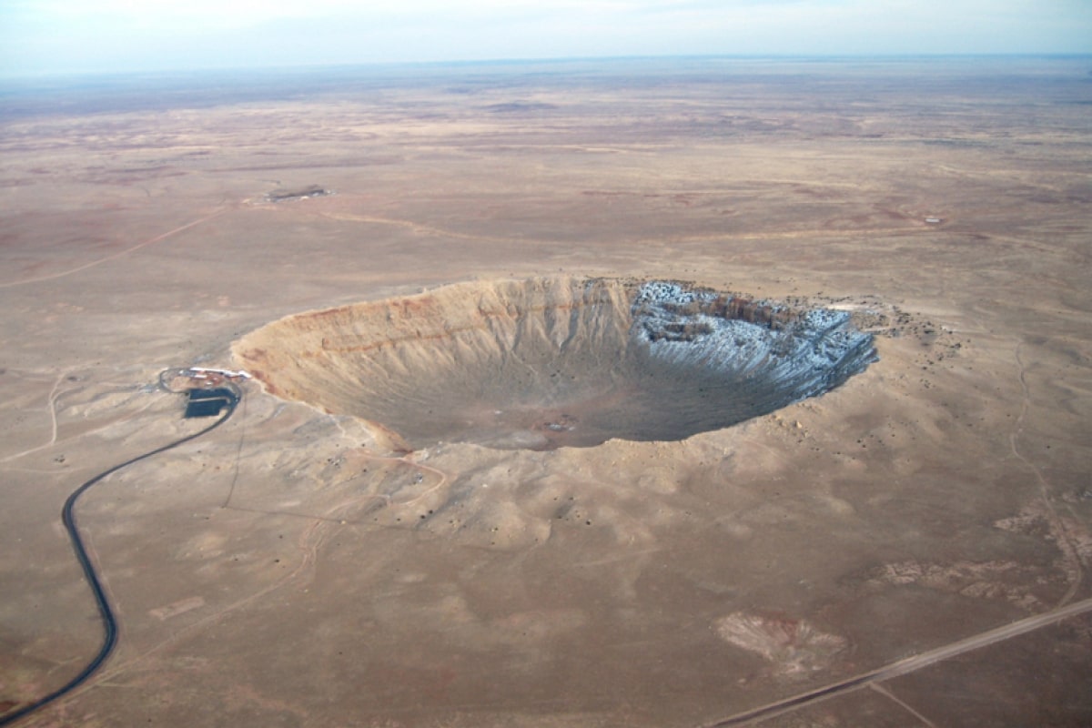
  One of the most destructive forces in the solar system, asteroids can impact life as we know it. And according to the European Space Agency (ESA), original calculations gave QV89—a 164-foot asteroid—a 1 in 7000 chance of colliding with Earth on the morning of September 9th, 2019. But this asteroid has most recently been […]

Getting Started with Jupyter Notebooks

  Getting Started with Jupyter Notebooks   Jupyter Notebooks is a web-based python IDE that can be used for data analysis and visualization, a popular tool among data scientists and python developers alike. Offering users some versatility and other options that are missing when using python in the terminal. While there are certainly cases in […]

Visualizing Rising Sea Levels with GIS

  Preparing for Rising Sea Levels – What are we wading for?   Sea levels have been rising at staggering rates in recent years. For the 6th consecutive year the global mean sea level has increased over the previous year. Putting the 2017 global mean sea level 3 inches above the 1993 average.    Why […]

Precision Farming with GIS Insights

GIS plays an important role in the agriculture industry, providing farmers with valuable insight to aid their farming practices. By mapping farms, we can derive information surrounding soil health and crop suitability. These insights equip farmers with additional knowledge to help them make smarter, more informed decisions.   GIS insights can reveal distributions of soil […]

GIS Supporting the Half-Earth Project

The Half-Earth Project is a planet-wide effort to conserve biodiversity. The idea behind the project is that if we can save and protect half of the earth, including areas on both land and sea, then we can save 85% of all species on earth.   The current human population on planet earth has reached 7.2 […]

Building Smart Communities with ArcGIS Urban

  Building Smart Communities with ArcGIS Urban   Managing a variety of new development projects requires a comprehensive map of what’s being planning, what’s being built, and where it’s all happening. And the urban development process has typically relied on developer illustrations, which don’t represent a true spatial evaluation of the new development proposal. These […]

Building Apps with AppStudio for ArcGIS

  The modern world we live in today runs on technology, and a common phrase is that there’s an app for that. Apps exist for just about everything, from renting local bikes and scooters to hailing a car from Uber or Lyft. Location-based apps, developed by expert app development companies, are a crucial piece of […]

ArcGIS Enterprise Jumpstarts

The ArcGIS Jumpstart is designed to quickly get an organization’s geospatial capabilities up and running with the ArcGIS platform. The process will enable self-sufficiency in installing, implementing, and managing Esri software. As part of the process, GeoMarvel also provides technical knowledge transfer and shares best practices for using the ArcGIS platform.

India Shoots for the Moon

  Explore our 3D moon scene highlighting India’s lunar landing site!     India’s lunar mission was just launched, sending their first lunar lander bound for the moon and striving to become the fourth nation to successfully land on the lunar surface. A successful landing means India will have accomplished what only China, Russia, and […]

ArcGIS Web Launce Kit _ Featured Image

ArcGIS Web Launch Kit

We’re excited to offer our ArcGIS Web Launch Kit professional services on the ArcGIS Marketplace! The ArcGIS Web Launch Kit is intended to build up your organization’s online portal, building suitable information products and equipping your team with the knowledge to build an effective Web GIS.