Award winning.
A proud
Esri
business partner.
Together
we can do anything!

Blog

Monitoring Droughts with Operations Dashboard

Monitoring Droughts with Operations Dashboard

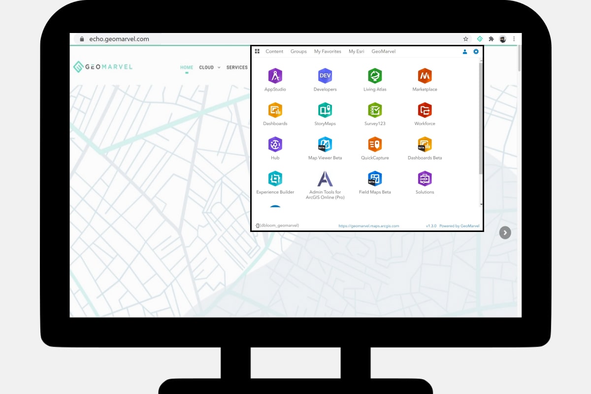
Operations Dashboard for ArcGIS is a configurable web app providing geospatial data visualization, analytics, and a real-time view of events as they occur. Monitor your workforce, assets (mobile or stationary), and events from a simple interactive dashboard.

Workflow Automation with Survey123 & Integromat

  Automate workflows by integrating any number of the hundreds of apps and services available with Integromat. Similar to Microsoft Flow, both of these automation tools seamlessly integrate with Survey123, among hundreds of other integrations including Office 365, SalesForce, Google Cloud, and Social Media. With zero coding required, this automation solution offers an instant, out-of-the-box […]

Echo for ArcGIS

In another recent R&D venture, GeoMarvel developed Echo for ArcGIS, a free browser extension that links directly to ArcGIS. The most powerful browser extension for the ArcGIS platform, Echo for ArcGIS provides one-click access and easy toggling between all your ArcGIS Online and ArcGIS Enterprise accounts.

5 Useful Visual Studio Code Extensions

  Over the years Visual Studio (VS) code has become a staple in the web developer toolkit, and it’s easy to understand why. Out of the box VS code comes with intelliSense, debugging, Git and extensions. All of these built-in features propel VS code strides ahead of other text editors. Today we’re going to look […]

What’s New in Workforce for ArcGIS

Workforce for ArcGIS is an Esri application to help users plan and coordinate field work. Optimize field operations while gaining organizational location awareness. Integrating easily with the suite of esri field mobility apps, Workforce provides the capacity to assign tasks to field workers, and capture a variety of data including timestamps to measure worker performance, […]

Cloning an ArcGIS Portal

Leverage the Python API to clone content from one portal to another. This includes transfer from ArcGIS Enterprise to ArcGIS Online, Enterprise to Enterprise, or Enterprise to ArcGIS Online. Cloning works best for web-based authenticated users, groups and sharing, hosted feature services, web apps based on web app templates or Web AppBuilder, and hosted feature […]

Introduction to Time-Enabled data in ArcGIS

GIS enables users to effectively investigate and analyze location-based data in three dimensions, and time adds a fourth dimension to this data. Time enabled data let’s users see what events occurred at a certain time, or what events may unfold in the future based on trends witnessed over time. Time-enabled data comes with added functionality […]

Exploring Machine Learning Tools within ArcGIS

Machine Learning Tools in ArcGIS   Machine learning isn’t science fiction, but instead consists of a series of data-driven algorithms and techniques that automate the prediction, classification and clustering of data. Spatial machine learning incorporates geography into calculations, as well as the shape, density, contiguity, spatial distribution, and proximity as it relates to the data. […]

Migrating from ArcMap to ArcGIS Pro

Still on ArcMap? It’s time to switch over to ArcGIS Pro. ArcGIS Pro comes with a multitude of benefits including editing feature services, new file formats, a ribbon-based view, and a simplified editing experience. This 64-bit, multi-threaded application comes with powerful processing and an upgraded display engine for faster rendering and analysis.

Explore the Planet with ArcGIS Earth

  Wander the globe with ArcGIS Earth, a member of the esri geospatial cloud. Originally released in 2016, ArcGIS Earth offers a free, desktop-based interactive globe that’s free for all to use. Create and analyze 2D or 3D maps and data, add annotations, sketch directly on the map, and measure distances and areas. Connect directly […]