We’re very excited to announce our work with IIASA in developing a custom AppStudio app, LACO-Wiki Mobile, a cross platform mobile application development.

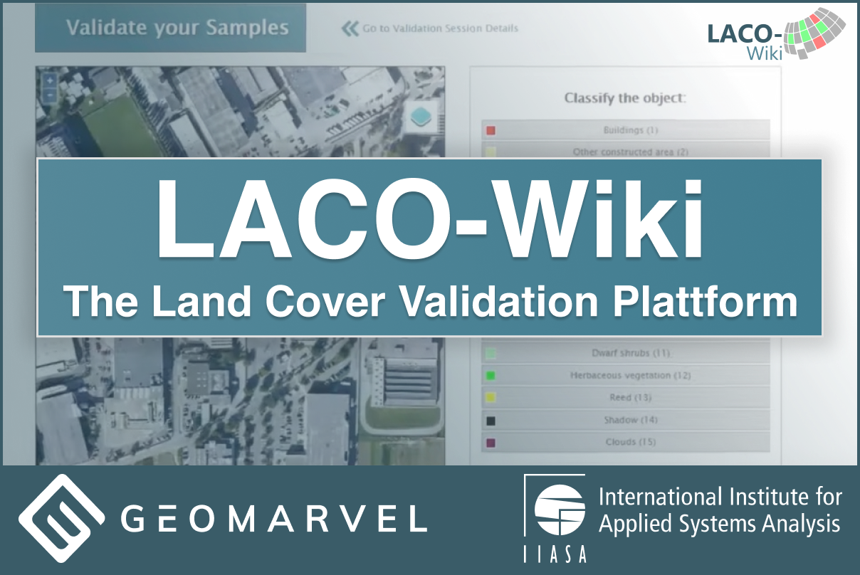
We’re very excited to announce our work with IIASA in developing a custom AppStudio app, LACO-Wiki Mobile, a cross platform mobile application development.
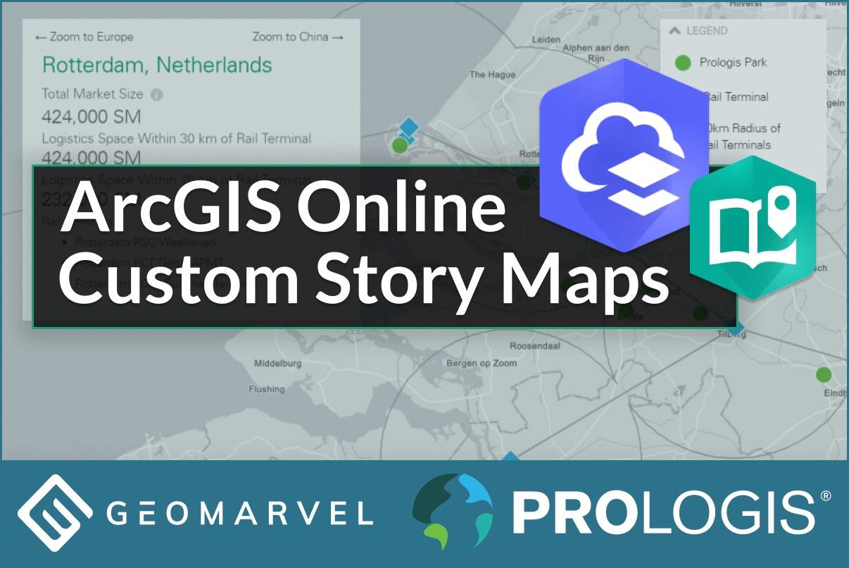
We are pleased to announce our work with Prologis, Inc in developing a custom story map with ArcGIS Online for the the Belt and Road Initiative.
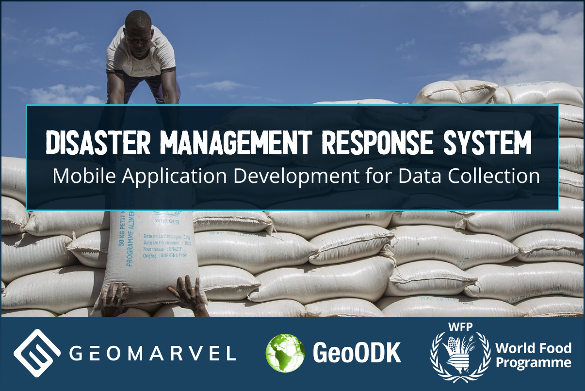
We at GeoMarvel are proud to have partnered with World Food Programme (WFP) in creating a Disaster Management Response System with a custom mobile.

ArcGIS Javascript 4.x is here! ArcGIS Javascript 4.x integrates 2D and 3D into a single easy to use and powerful API. You can build full-featured 3D applications powered by web scenes and include rich information like layers, basemaps and all the great parts of the ArcGIS Enterprise, ArcGIS Online and Enterprise. The 4.x API is […]

Landmapp’s field trip into the Albanian mountains On February 28th, Thomas went on the first field trip to the village Golaj in the Northern Albanian mountains to explore the opportunities of doing a pilot in the summer. We were invited by our partner CNVP to visit a local town and to interview a few families. […]

Recently there have been many inquiries regarding integration of GeoODK/ODK with ArcGIS online. Over the last few years we have been developing a simple integration process that requires minimal configuration, and we are excited to explain how this process works.

Author: Jon Nordling ## Overview If you are using the geographical data types in the XLSFom’s either the: geopoint (point) geoshape (polygon) geotrace (polyline) This blog will explain the details on how to turn your collected data with these data types into a shapefile. (support for other’s such as GeoJson, KML, KMZ could be […]

To show the power of MapLapse, we have found some amazing locations of landcover land use change and want to share with you. Explore your own location with MapLapse for ArcGIS Online today! Try for Free Toshka Lakes (1975- 2010) Las Vegas (1975- 2010) Dubai (1975- 2010) San Francisco (1975- 2010) Dalian, China […]

Micro Service Software Architecture. We are very excited to talk about the technology behind MapLapse. This application was developed using some key tools and technologies which are game changers in how we as an industry build software. Such as ArcGIS Online, Amazon S3, AWS Lambda, AWS API Gateways, ReactJS, Node, ArcGIS Javascript 4.1, which is brand […]

We developed a custom data collection system for the AgriSense STARS GEOGLAM project to facilitate and host data collected through ODK/GeoODK to increase accuracy and provide timely information in supporting food security monitoring in Tanzania and Uganda.