Esri’s Landsat Explorer web app is a free resource that lets you visualize the Earth and inspect how things have changed over time. With a variety of ways to look at and interpret satellite imagery, Landsat Explorer is a great resource to get started quickly. Let’s explore the Landsat Explorer web app to get a full sense of functionality.
Landsat Explorer Menu
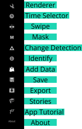
The Landsat Explorer web app comes with a variety of ready-to-use tools to take a closer look at your area of interest. From a range of satellite imagery to comparisons over time, Landsat Explorer lets you visualize the Earth in a new light.
Renderer
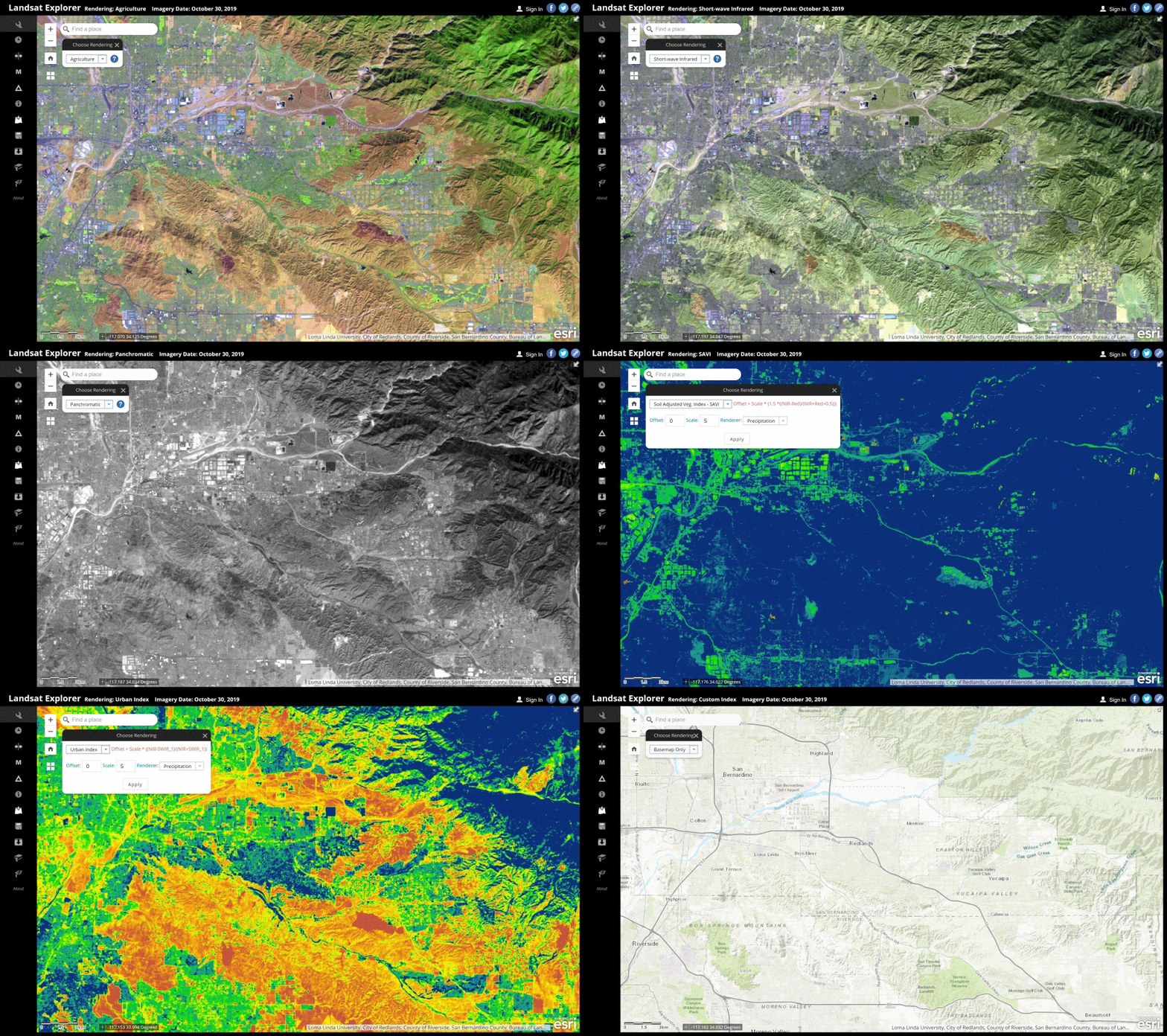
Take a look beyond the image to reveal hidden patterns. Renderer puts the visuals in your hands. Choose from a range of imagery including color and short-wave infrared, or vegetation, moisture and urban indexes. Go further by choosing your own custom bands to visualize your imagery.
Time Selector
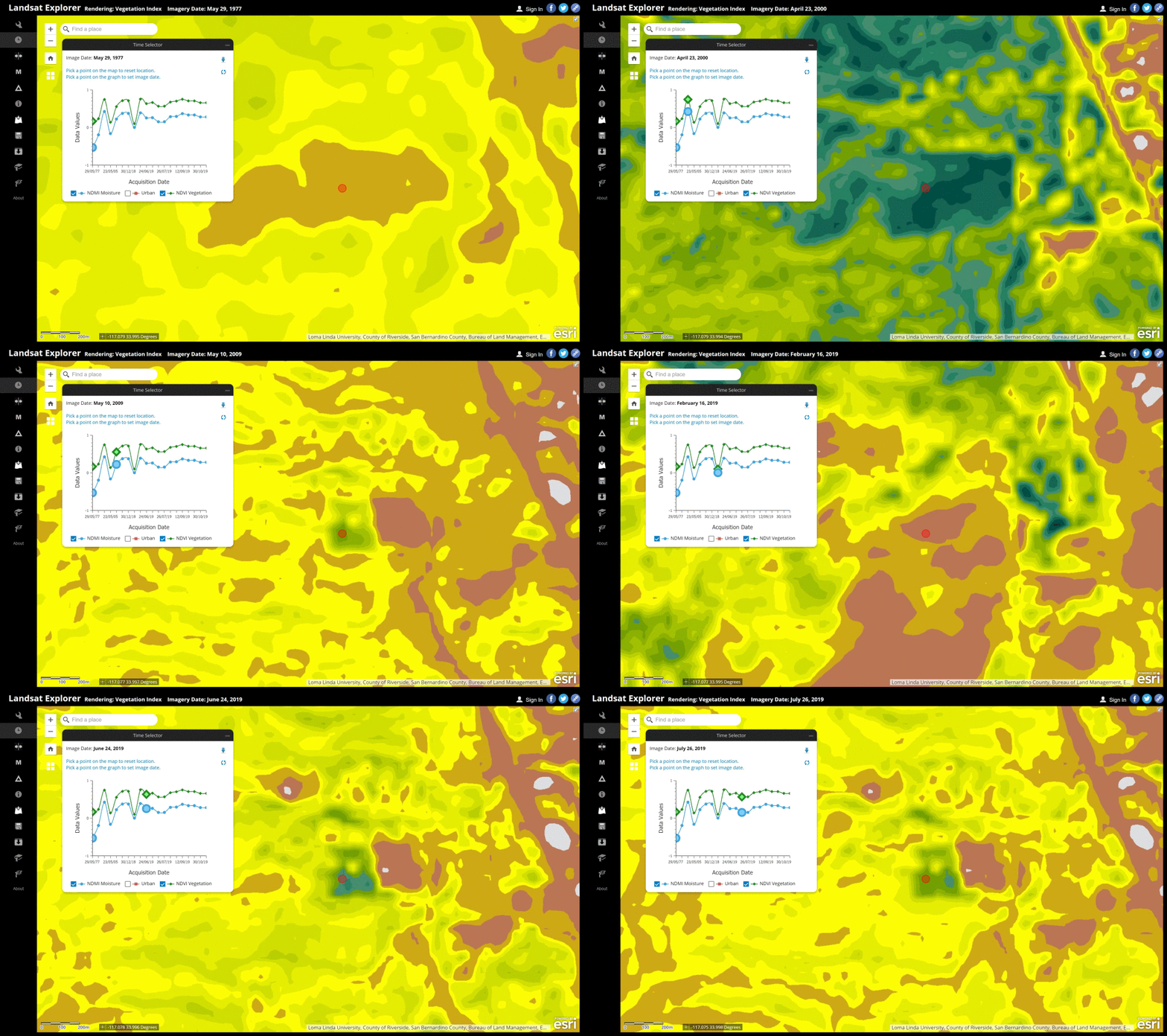
It’s time to hit 88 MPH! Go back in time to see what things looked like at an earlier date. The time slider is a great tool to analyze how a given location has changed over time.
Swipe
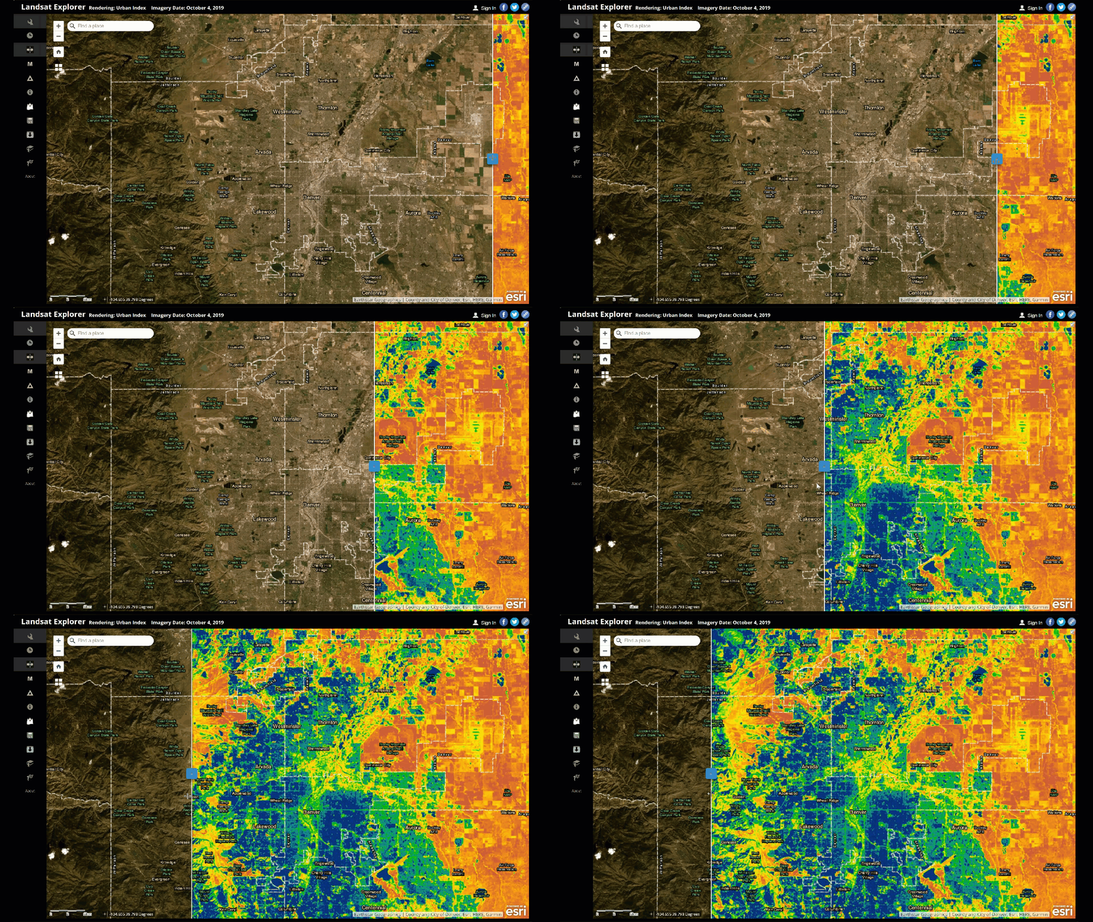
Leverage the swipe tool to interactively compare two separate dates. An easy way to visualize the differences between two images.
Mask
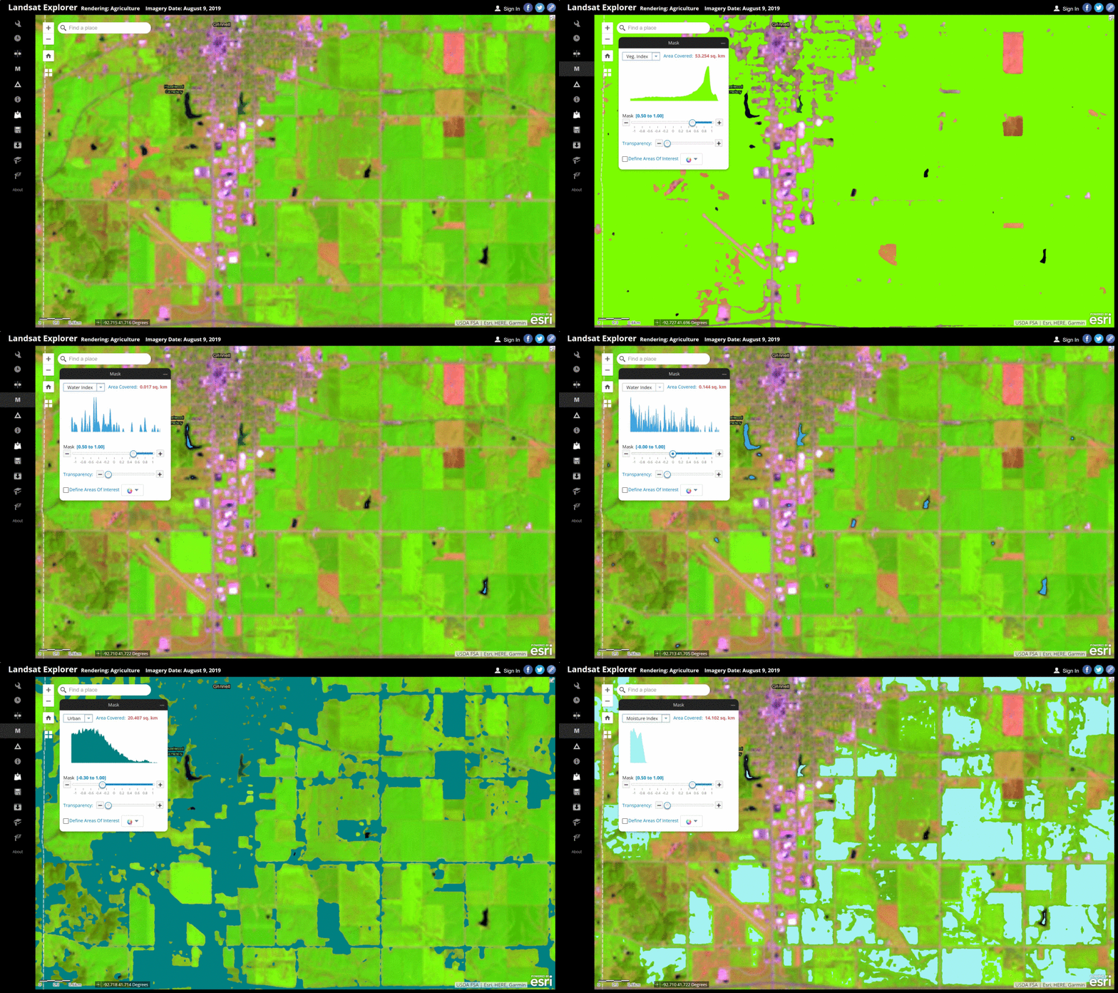
Use this tool to locate individual land cover types. With the ability to set your own value thresholds, you can turn the dial up or down to visualize how the setting changes.
Change Detection
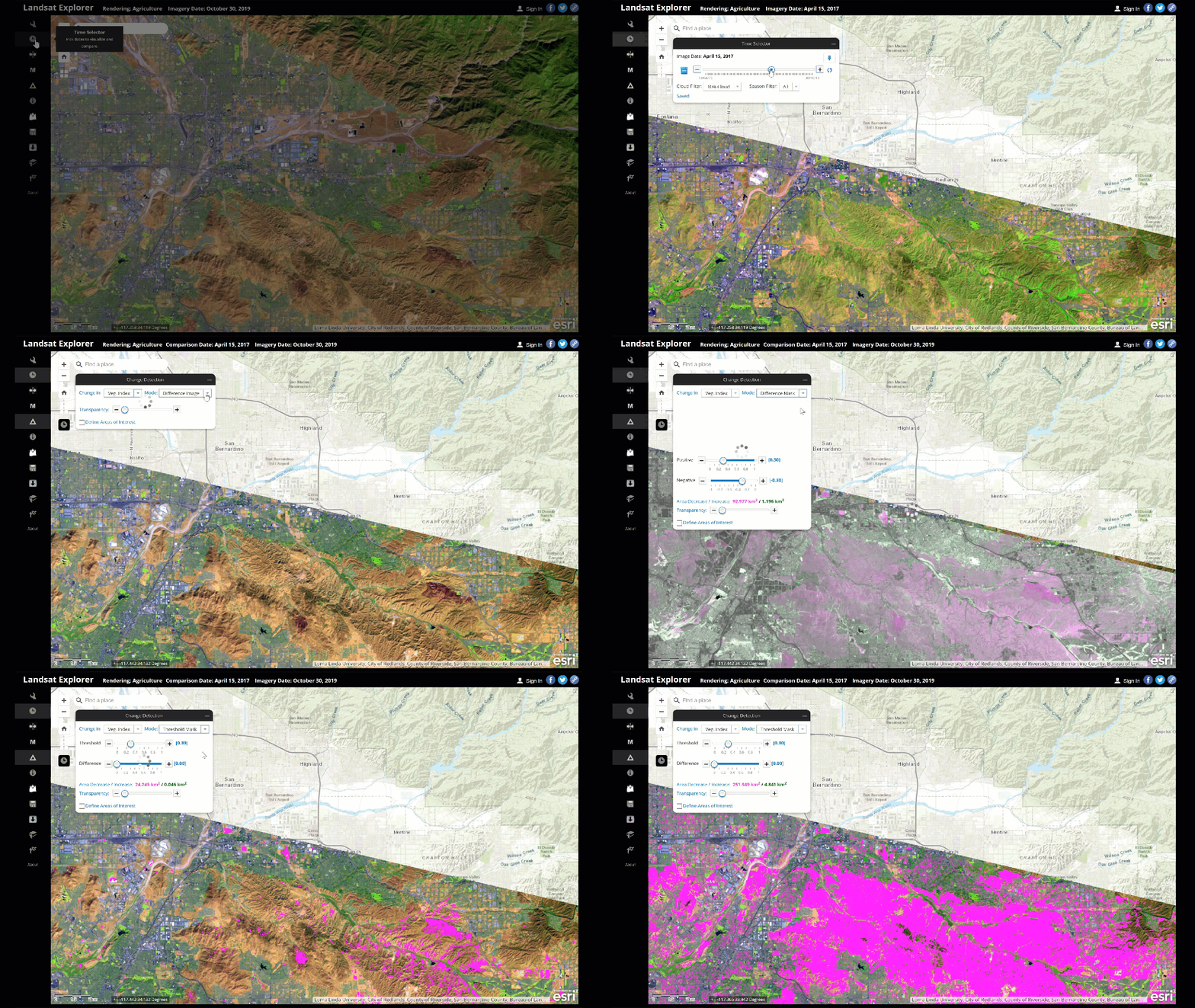
Want to see how a recent wildfire has impacted an area? Use the change detection tool to display the before and after imagery, and automatically detect the changes between the two data sets. Use the burn index to see how much area the wildfire has affected.
Identify
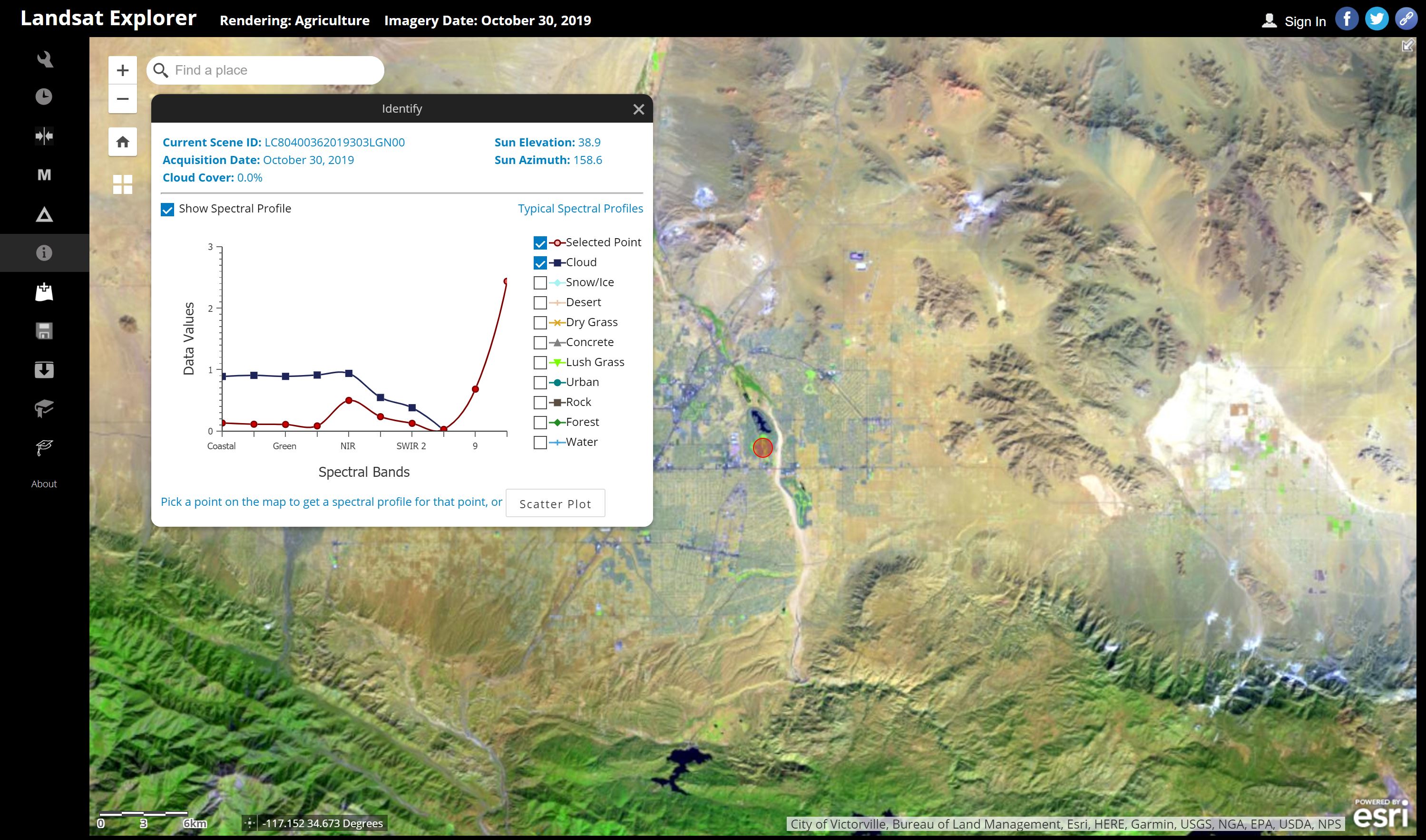
The identify tool provides the spectral profile for your chosen area, represented by the red circle in the center of the image below. Try clicking in some different areas to see how the spectral profile changes with location.
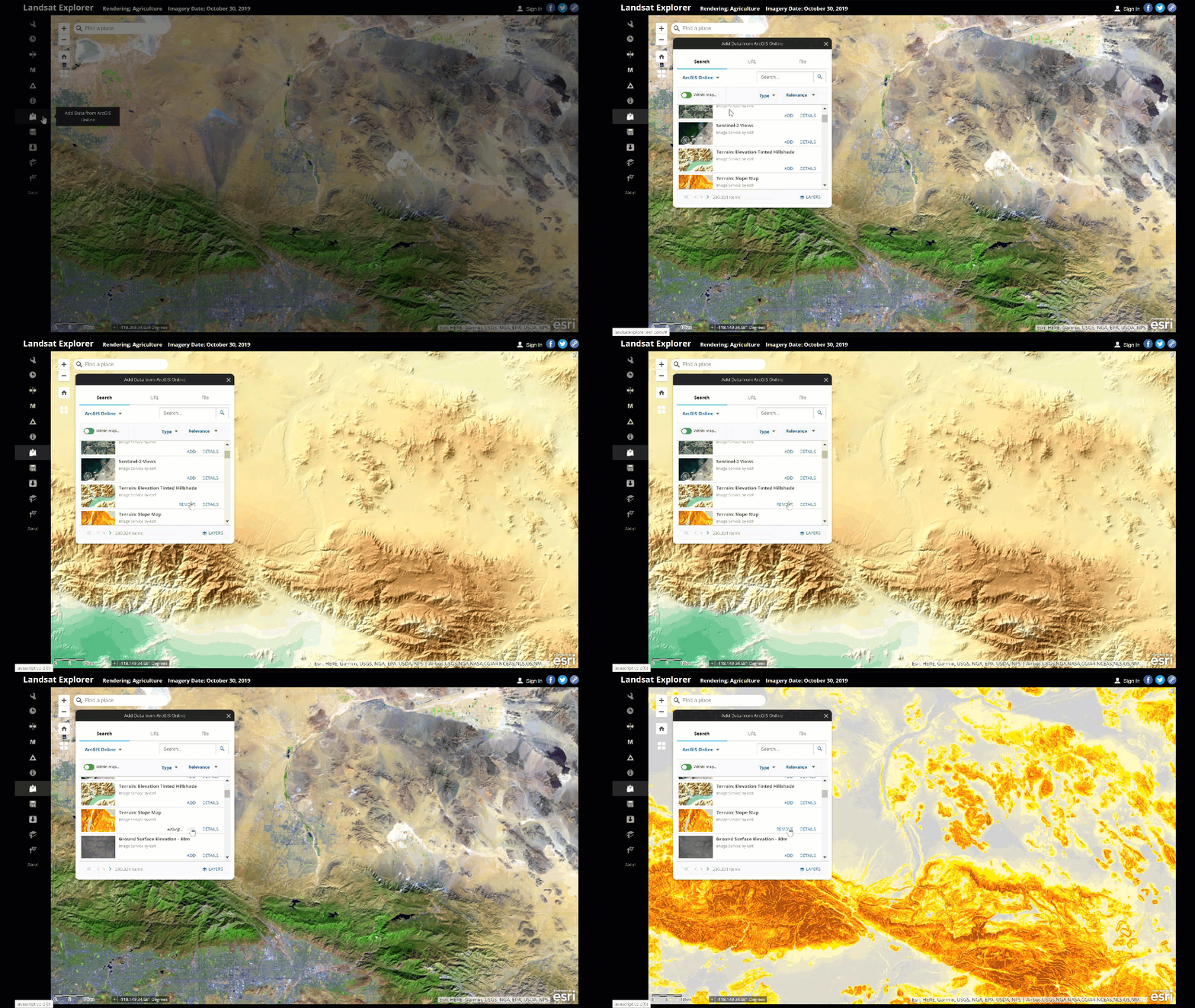
Add Data from ArcGIS Online
As an Esri app, Landsat allows you to integrate your own data, or you can browse ArcGIS Online to choose from the vast catalog of data available.
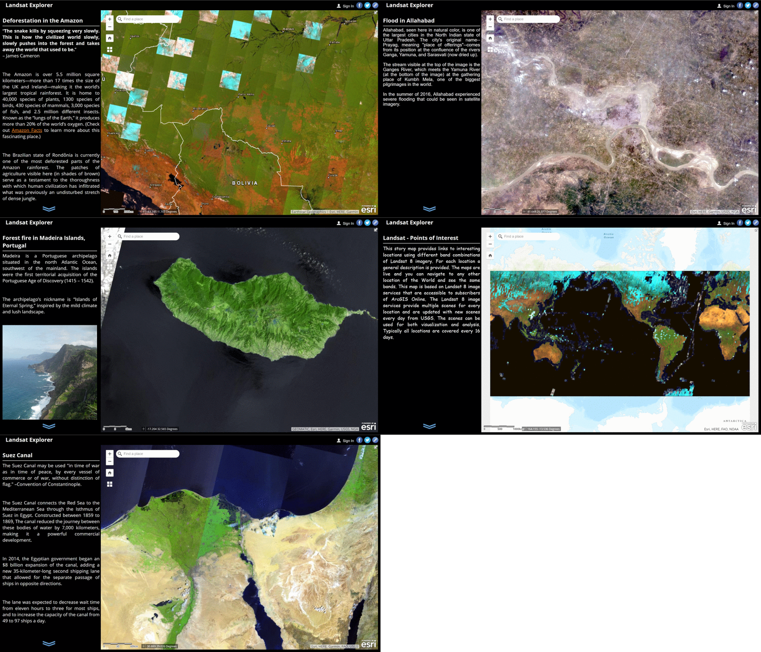
Stories
Landsat Explorer has the ability to tell stories. Check out the Esri story examples in the Stories section. From floods and fires, to deforestation in the Amazon. See how imagery can inform and inspire through the art of storytelling.
More Landsat Resources from Esri
Dive into the Landsat Explorer web app for yourself. And see what else Landsat has to offer. Explore these other tools from Esri to unlock Earth’s Secrets with even more great Landsat imagery resources from Esri.

Get Support
Looking to leverage the power of Esri’s Landsat Explorer, but not sure where to start? Jumpstart your GIS capabilities with GeoMarvel. Reach out to our industry experts to start a conversation about your unique GIS needs today.


