We’ve all experienced a lack of GPS reliability within an indoor environment. Well, there’s finally an indoor positioning solution. Esri has released their latest GIS solution for the indoor world – ArcGIS Indoors.
From pinpointing your indoor location, navigating to your next meeting, or identifying asset locations, ArcGIS Indoors is a complete indoor mapping system enabling you to create, customize, and share building maps and indoor location data. This geo-enabled system for smart workplace operations integrates with Building Information Modeling (BIM) formats, to help create a complete building map.

Leverage indoor mapping capabilities for organizational use to streamline collaboration and productivity. Empower your workers and guests with the power of location intelligence and indoor navigation to easily route from point A to point B. Strengthen your workplace operations and decision-making with a fully functional indoor GIS, which doubles as an asset management system.
According to sites like https://aedadvantage.ca/shop/aeds, ArcGIS Indoors is the perfect tool to plan and monitor your organization’s assets, people, and areas. Indoor location tracking allows for the capture of real-time indoor location information, for quick and easy navigation to all your resources. Customize ArcGIS Indoors experience to suit your needs, and set points of interest like AEDs, event locations, or open meeting rooms.
Need to create a work order for broken equipment or a new server install? Leverage integration with Survey123 to fill out a form describing the issue. Then email the location and instructions to your nearest technician to quickly resolve the issue.
Get the Mobile App
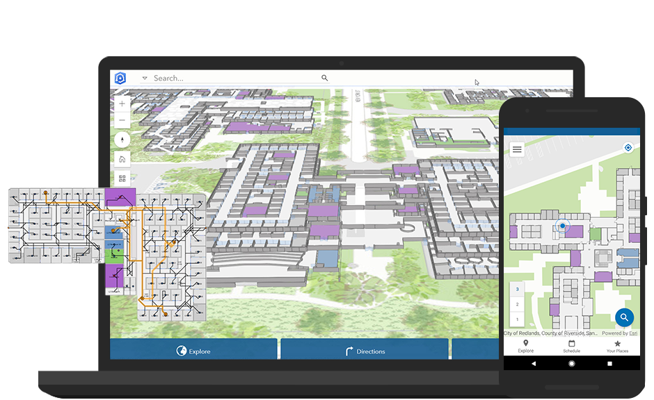
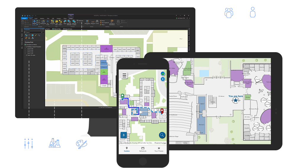
The native mobile app for ArcGIS Indoors is available on both iOS and Android. The app makes use of the phone’s sensors to pinpoint the user’s indoor location. The Indoor Positioning System (IPS) leverages WiFi, beacons, and smart lights (to name a few) to locate the phone’s position within an indoor space.
Users can select from a range of maps shared with them, from asset maps to navigation maps. And the built in category menu allows users to search for a location, and even integrate with their calendar to show all their appointment locations and help navigate them to their important meetings throughout the day.

Web App
Built in the Indoor Mapping Data Format (IMDF), the ArcGIS Indoors webmap supports both 2D and 3D views. It also has a touch screen kiosk mode to enable users to search for and discover their desired points of interest.
Get your ArcGIS Indoors data into the hands of those who need it. Client apps provide a unified user experience with support across all devices. You decide what info to include, and who can access and edit that data. An app for the fire department will look much different from an app built to help guests navigate the local mall.
Get Support
Ready to leverage the power of ArcGIS Indoors? Get to know this new technology and discover what it can do for your organization by contacting our GIS experts today.


