Deep Learning for Wetland Mapping
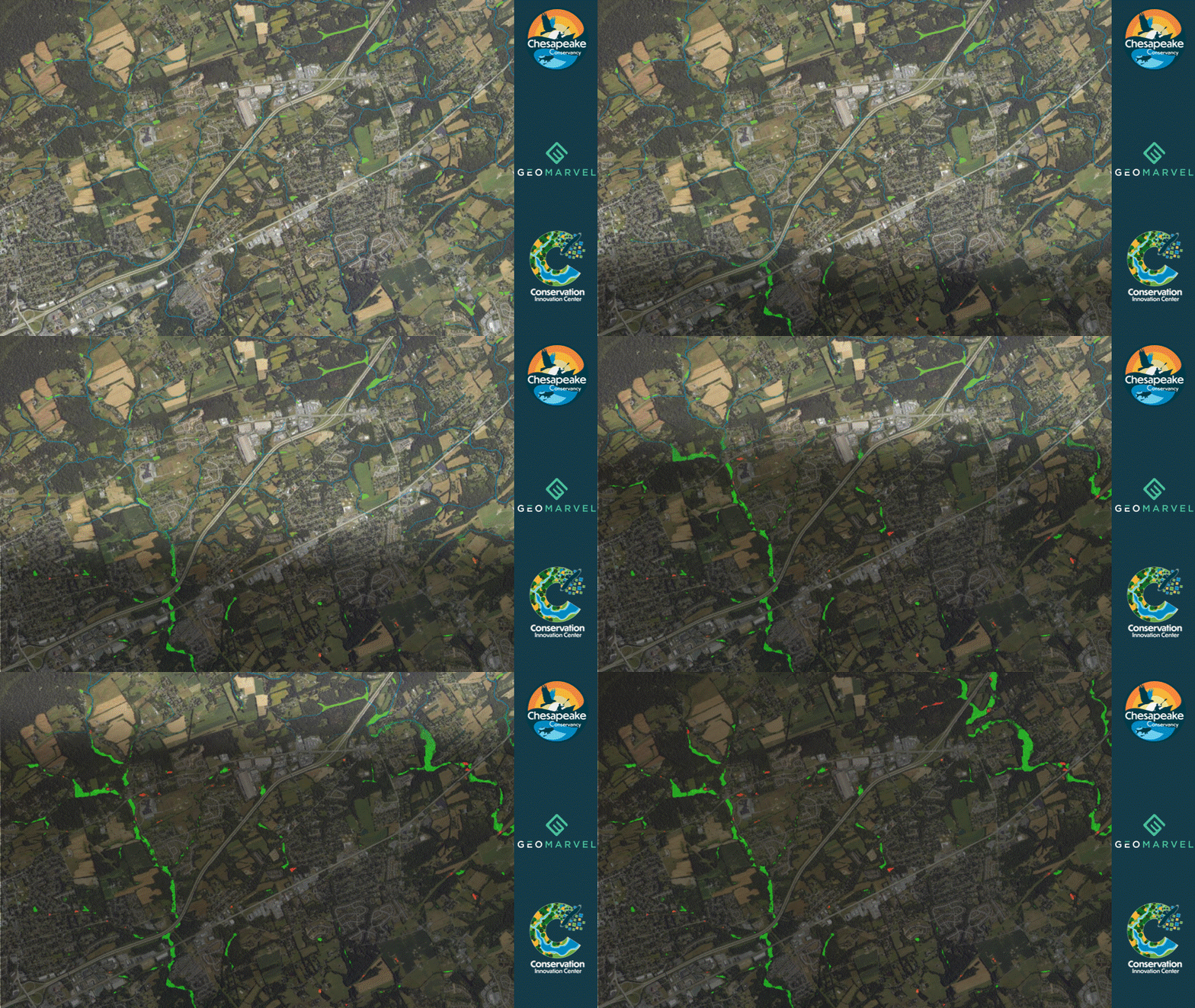
GeoMarvel partnered with Chesapeake Conservancy to operationalize deep learning workflows for high resolution wetlands mapping. Deep learning (DL) is a technique within artificial intelligence (a central topic at Esri’s Developer Summit & User Conference this year) that enables computers to process information similarly to how the human brain works. These models are capable of identifying intricate patterns in images, text, sounds, and other types of data, allowing them to generate precise insights & predictions. In this case, the Chesapeake Conservancy designed & built three different models to assess satellite images & determine whether each pixel was within a wetland or not.
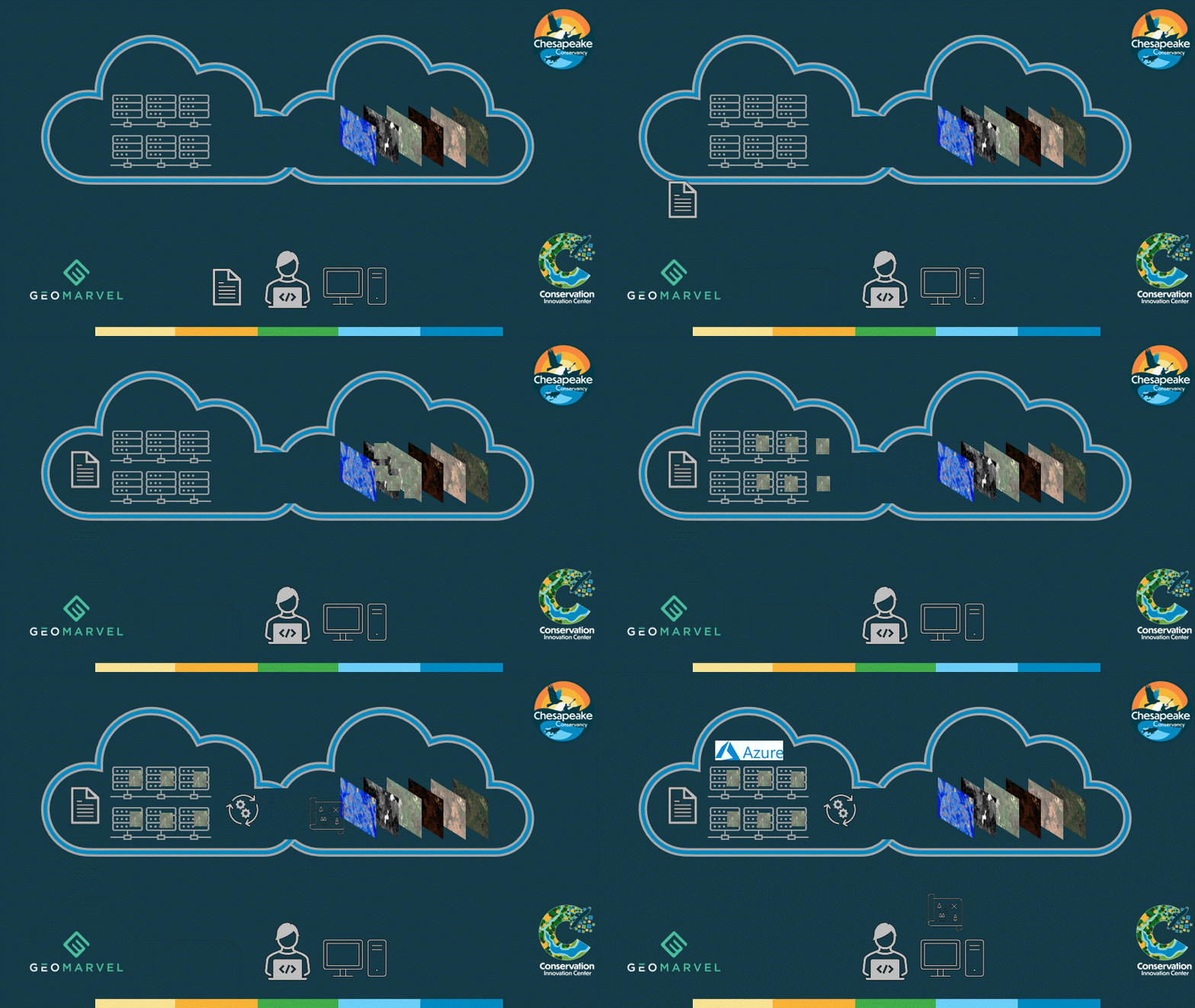
The GeoMarvel Team created solutions leveraging cloud computing to scale the training of these models on massive datasets, and the production of wetland data across a large geographic extent. With this information, infrastructure planners & their teams can identify & avoid building in these areas, thereby preserving & protecting these wetlands & the species that inhabit them.

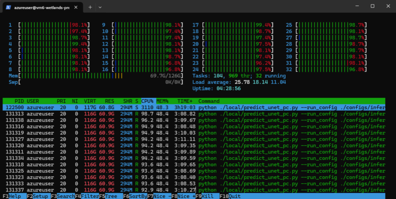
The models underwent training, assessment & retraining, & data validation for their predictions in order to determine and improve accuracy. Each model used National Agriculture Imagery Program (NAIP), elevation information, soil characteristics, and remote sensing imagery to identify the location of wetlands across the Chesapeake Bay watershed, which was broken down by county. The massive amount of data (1 meter resolution satellite imagery) resulted in longer processing times so our team utilized parallelization to break counties into smaller areas, and simultaneously run the model on these pieces all at once.


Chesapeake Conservancy: Mission & Vision
Chesapeake Conservancy, a nonprofit based in Annapolis, Maryland, is dedicated to conserving the Chesapeake Bay as a national treasure accessible to all. By leveraging technology and innovative data, the organization enhances conservation efforts, creates parks and trails, and promotes public access. Their mission is to restore the natural and cultural resources of the Chesapeake watershed for current and future generations, aiming to conserve 30% of the region by 2030.
Chesapeake Conservancy serves as a catalyst for change through strong partnerships and data-driven strategies. Their objectives include connecting people to the watershed, expediting restoration efforts, promoting diversity, and ensuring the necessary resources to support their mission. By empowering the conservation community with advanced tools and information, they strive to create a healthier, more accessible Chesapeake for everyone.
In 2023, Chesapeake Conservancy’s data science team developed a DL model for mapping wetlands that achieved 94% accuracy.The new model will assist infrastructure planners in steering clear of wetlands during the planning stages, leading to cost savings and the preservation of wetlands. This is particularly beneficial for ongoing initiatives to expand renewable energy, which necessitate the growth of electric power infrastructure.
From managing your content and data for maximum efficiency, to leveraging field mobility apps to streamline workflows, we’ll help you jumpstart your knowledge of everything ArcGIS with our GIS Training Services. We can also help you navigate & implement your GIS solutions by acting as a natural extension of your team by providing GIS Development & Analysis. Contact us to learn more!