On two occasions in the past two years, GeoMarvel has successfully partnered with Cultivating New Frontiers in Agriculture (CNFA) to create a series of maps highlighting regions of agricultural importance in Africa. Specifically, the maps have focused on the countries of Burkina Faso and Malawi. Beginning with a lot of data, the first step was to hone in on only the most important aspects of the data to best highlight the areas of focus.
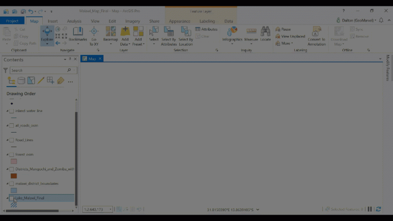
Image from ArcGIS Pro
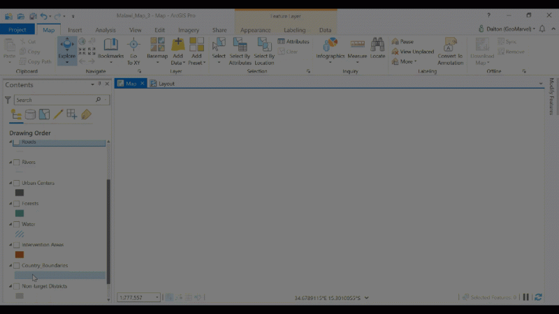
Image from ArcGIS Pro
We created wonderful maps for CNFA to highlight details surrounding the project they’re working on. Map creation followed best practices, and were matched up with CNFA’s style guidelines to ensure each map fit perfectly with their brand.
The map creation process followed GeoMarvel’s standard project phases, with a discovery kick-off meeting to determine the exact project requirements, and a series of design, development, and testing phases as we provided new map concepts based on CNFA’s desired criteria and alterations for each map version.

GeoMarvel took the lead to seek out and leverage the highest quality data sources for these maps. We obtained all of the required datasets to create the final maps with included country and district boundary files, city points, rivers, lakes, roads, and traditional authority boundary shapefiles. With these files, we developed the final cartographic representation of the aggregated data for each final map output.
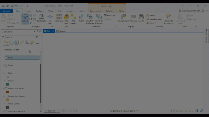
Image from ArcGIS Pro
Every map created for CNFA was built with the ArcGIS platform, most recently with ArcGIS Pro. ArcGIS Pro equipped GeoMarvel with the tools necessary for straightforward map creation with location-specific data visualization and custom map deliverables.
Our most recent cartography efforts for CNFA came with an imminent deadline. They requested a quick turnaround for the project maps, and GeoMarvel delivered. In the end, these maps have helped CNFA continue moving forward with their mission to design and lead agricultural development and entrepreneurship initiatives to build a prosperous world without hunger. GeoMarvel is pleased to be able to work with an organization on a mission to help fight food insecurity. And we’re excited about the potential for future work with CNFA to continue this fight.
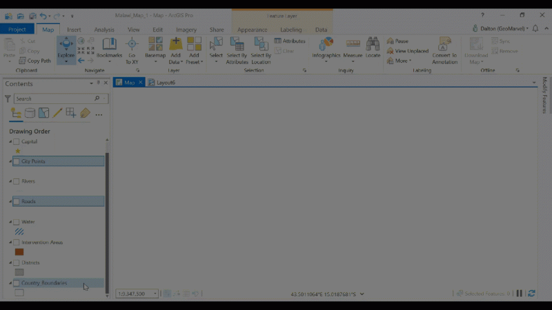
Image from ArcGIS Pro
Interested in custom map creation services from GeoMarvel? Reach out to our industry experts and let’s discuss your unique project needs.