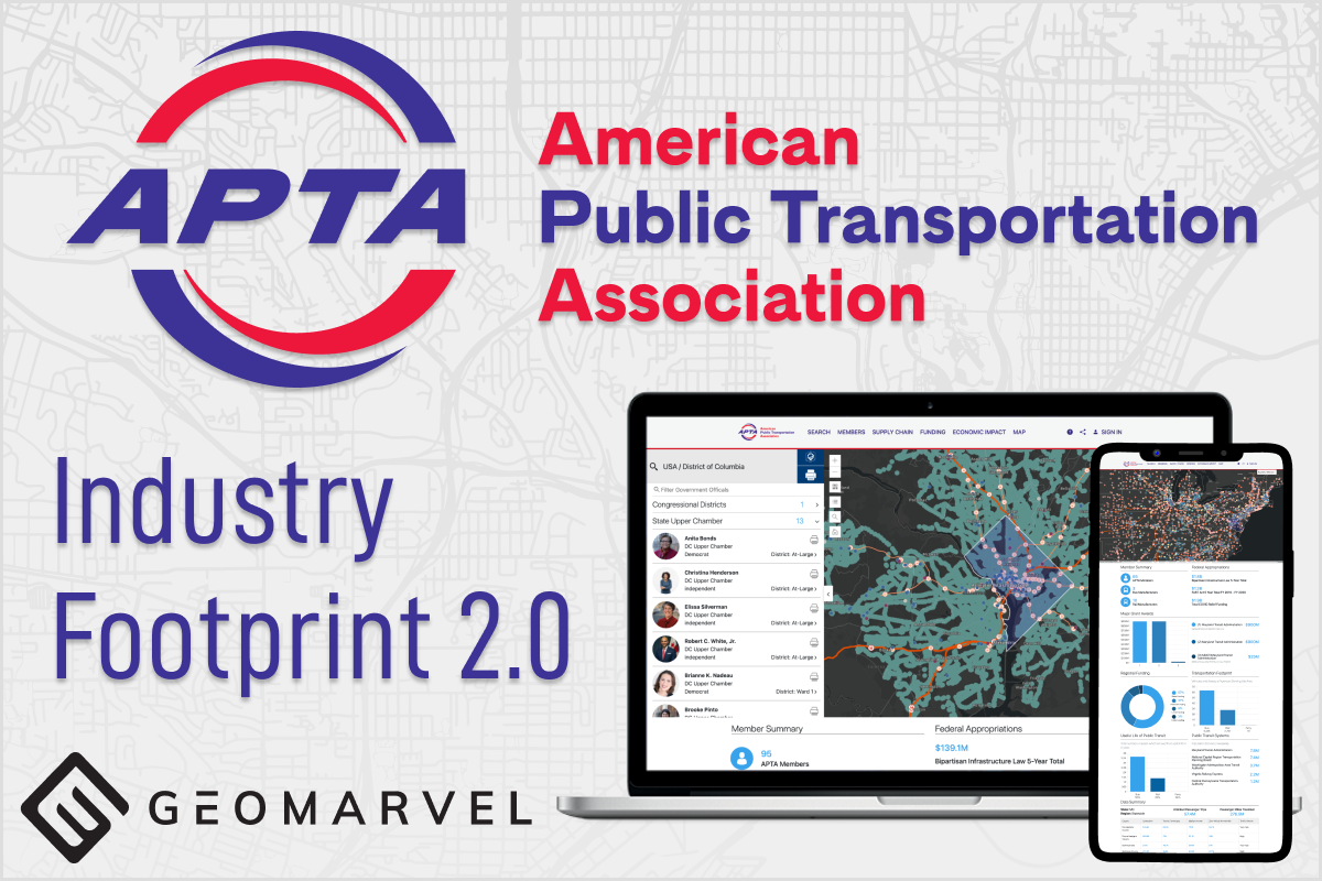
GeoMarvel recently partnered with the American Public Transportation Association (APTA) to redesign their Industry Footprint 2.0 application.

GeoMarvel recently partnered with the American Public Transportation Association (APTA) to redesign their Industry Footprint 2.0 application.

GeoMarvel recently partnered with the US Department of State to develop ZephAir, a mobile application designed to provide users with information for local Air Quality.
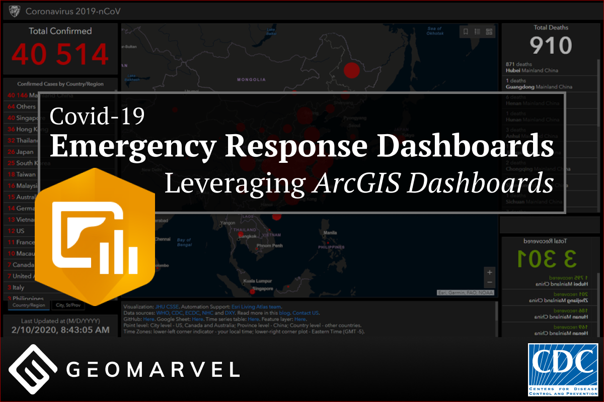
Putting COVID-19 data on the map helps organizations reveal key information and trends in their data, helping them make more informed decisions to keep their employees and the public safe.

GeoMarvel recently partnered with the Cadasta Foundation to deploy ArcGIS Enterprise 10.8.1. The Cadasta Foundation’s mission is to document land and resources in the undeveloped world in order to secure land rights and security for all.

A post from our CEO reflecting on the last few years of our company. To the GeoMarvel team and all who have supported along the way! Thank you! You all are amazing and today we say thanks to you for your support.

We are very excited to announce the newest member of our team, Anna van Amerongen! Anna, our newest Associate Project Manager, will be working hand in hand with our digital and implementation team.
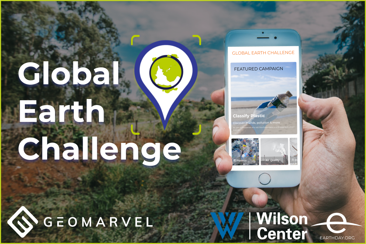
The Earth Challenge 2020 (“EC2020”) mobile application was developed by GeoMarvel in recognition of the 50th anniversary of Earth Day, and in partnership with the US Department of State, The Wilson Center and Earth Day Network. The application is designed to engage millions of citizens around the world to collect and submit data for new and ongoing citizen science projects.

GeoMarvel is excited to announce the latest addition to our team, Andrew Morris! Andrew is our latest application developer, who will lend his talents to help our team continue to grow and innovate using the latest GIS technologies. Now let’s get to know Andrew a little better with another great Q&A session!

Extend your ArcGIS Enterprise infrastructure with ArcGIS Mission from Esri. This all-inclusive, mission managed software solution tool, was built for geospatial communications and tactical situational awareness. Mission allows teams to create, share, monitor maps, and other materials for situational awareness and operational use. As situations evolve, gain real-time updates from the field, quickly make […]

ArcGIS Experience Builder offers up a new way to build web apps. The next generation of Web AppBuilder for ArcGIS, ArcGIS Experience Builder leverages a mobile-adaptive design to build powerful, user-friendly web apps with an easy drag-and-drop interface. Before we dive into our tutorial, let’s take a quick look at Esri’s primary ArcGIS Experience Builder […]