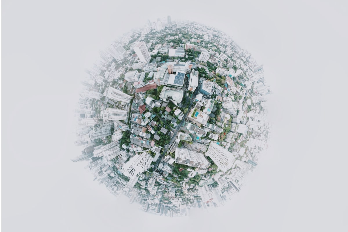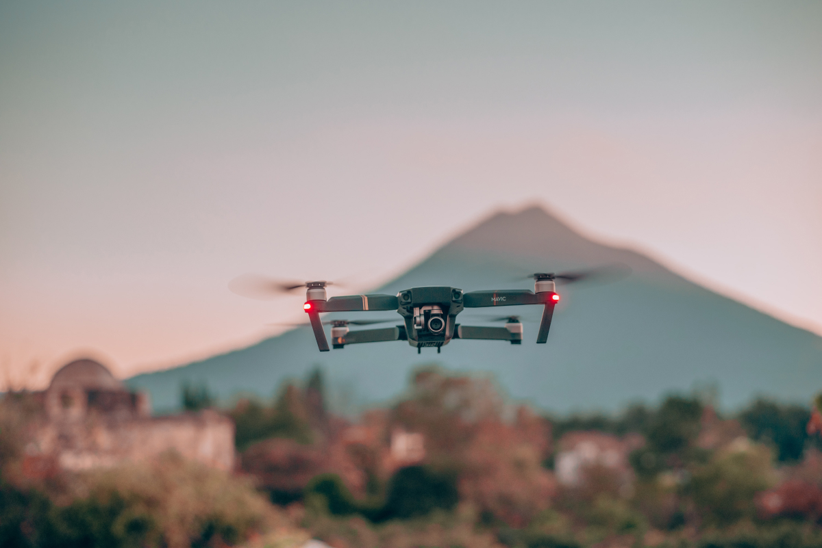
Drone2Map for ArcGIS has opened the door to new possibilities. Capture previously unobtainable imagery from difficult to reach areas. Collect data for yourself, and acquire professional grade, high-resolution imagery only available via drone mapping. Start with Collector for ArcGIS to collect ground control points, and integrate the collected points straight into your Drone2Map for […]