Support for Python 2 is ending soon, so it’s time to switch to ArcGIS Pro. Complete with ArcPy, the Python package associated with ArcGIS Pro, built to run GIS tools via python scripting.


Support for Python 2 is ending soon, so it’s time to switch to ArcGIS Pro. Complete with ArcPy, the Python package associated with ArcGIS Pro, built to run GIS tools via python scripting.

Explorer for ArcGIS is a native app that runs on IOS and Android smartphones and tablets, allowing you to take your maps with you wherever you go. Essential for field work, you can display valuable information from your organization, or choose from a plethora of maps and data publicly available on ArcGISOnline. Use maps […]
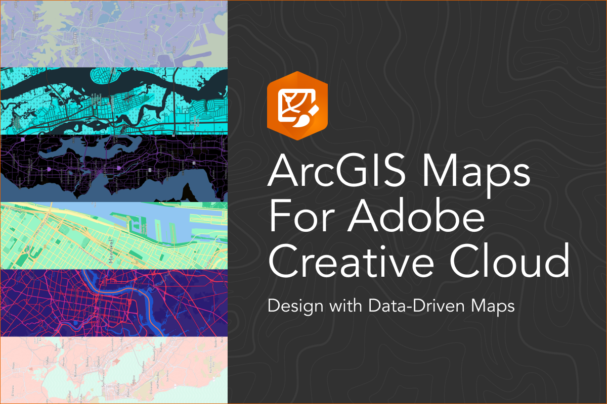
Are you a creative designer in need of an easier way to build highly detailed, data-driven maps? It’s time to learn how to Create Stunning Maps with ArcGIS Maps for Adobe Creative Cloud. Then it’s time to try your hand at ArcGIS Maps for Adobe Creative Cloud. Gain the artistic freedom to design and style […]

World Geocoder for ArcGIS allows the mapping of global addresses, all in one location. With this tool, organizations are able to convert text based addresses into mapped location data behind a firewall. True location data offers the ability to leverage spatial analysis tools to better understand customers, beyond a collection of dots on a map. […]

The world is getting bigger with the help of GIS, and you don’t have to be a developer to leverage the power of map-based apps. Use AppStudio for ArcGIS to provide virtual tours, display critical information, and crowdsource information with a little help from your community. Are you interested in building a GIS-focused native […]

GeoMarvel has a history of partnering with Esri Business Partners. Our most recent partnership with Esri Emerging Business Partner and Esri Startup, AQUAOSO, was nothing short of continuing this trend, taking a great idea and partnering together to bring it to fruition.

Fishviews expanded its capabilities to leverage 360-degree panoramic images of waterways and ArcGIS Online. Giving ArcGIS Online users.

Finally ArcGIS Map support for Wappalyzer is here! One of our favorite development tools is Wappalyzer. Often times when we see a websites/applications we like or when our clients share sites with us and say “I really like this interface”. The first things we do is take a look under the hood with Wappalizer. Wappalyzer is a cross-platform […]

We leveraged some of the ready-to-use tools offered in ArcGIS Pro for desktop to perform historical land preservation viewshed analysis and create…
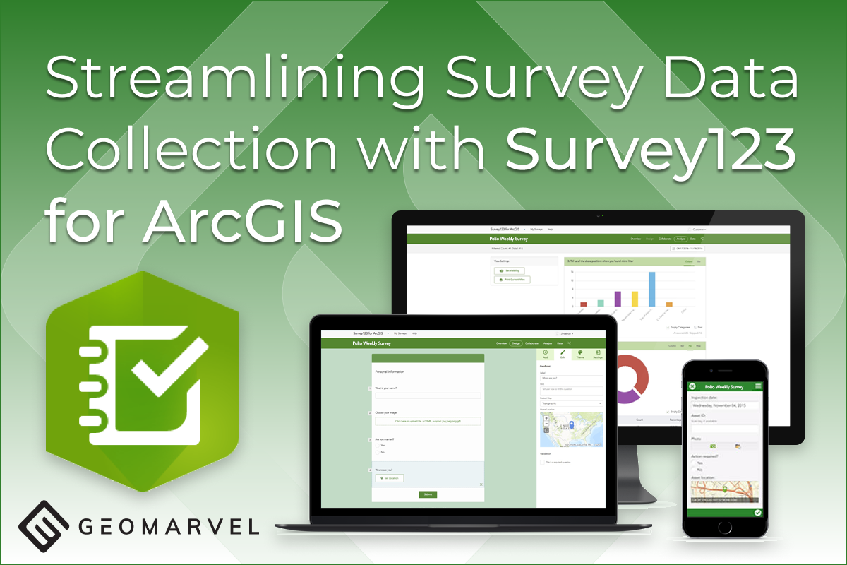
Survey123 for ArcGIS was built with the intention of streamlining survey data collection practices across multiple industries and replacing unreliable […]