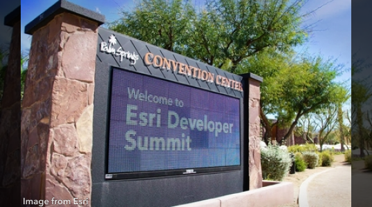
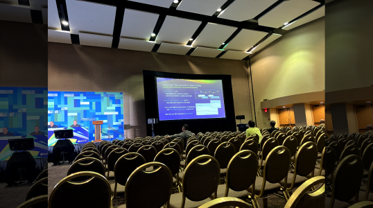
The Esri Developer Summit (DevSummit) is an annual event For Developers, By Developers, that brings together software engineers, data scientists, and other professionals from around the world to learn, collaborate, and explore the latest developments in GIS technology. At the summit, attendees have the opportunity to attend technical sessions, workshops, and hands-on training sessions, as well as engage with Esri experts and industry leaders. The conference showcases the latest GIS applications, tools, and services, providing attendees with insights into how GIS is being used in a variety of industries and applications. Regardless if you’re a seasoned attendee or a first-timer, the Esri DevSummit is a must-attend event for anyone working in GIS development or interested in learning about the latest trends and innovations in GIS technology.
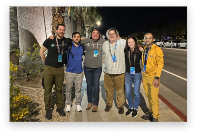
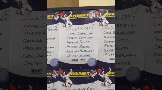
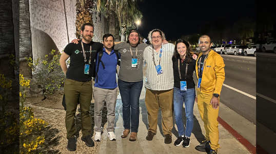
At this year’s conference, the GeoMarvel team was represented by team members: Kevin Cheriyan, Matthew Milideo, Anna van Amerongen, Dalton Bloom, Harman Hassan, and Jon Nordling. With individual areas of interest and expertise, each member embarked on their own journey of learning and exploration, diving deep into their respective fields of interest during the event. Let’s explore the unique experiences and insights that our team gained during this year’s conference.

Video from Esri
Kevin’s primary objective during the event was to enhance his comprehension of ArcGIS SDK Maps, with a particular focus on ArcGIS Maps SDK for .NET, .NET MAUI, and ArcGIS Pro SDK for .NET. He was particularly impressed with the advancements made to existing tools, such as Game Engine SDKs, and anticipates the release of ArcGIS Maps SDK version 200.x. In addition, Kevin capitalized on the opportunity to engage with the .NET SDK team, providing them with valuable feedback on ways to enhance documentation, samples, tutorials, and Github pages. Throughout the event, he gained fresh insights on how to leverage Pro SDK, and .NET in innovative ways.
Matt, who also possesses an interest in ArcGIS SDK, participated in sessions related to .NET for Maps SDK and ArcGIS Maps SDK for JavaScript. During the event, he gained insights into the boundaries of the JavaScript API and was enthused to learn about new possibilities for mobile application development using the new .NET Maui support in the Maps SDK for .NET. This move, in particular, has generated a great deal of excitement for Matt, as it now permits the development of applications for Windows, Mac, iOS, and Android to share a common code base.
Anna’s attention at the event centered on ArcGIS Maps SDK, .NET MAUI, and the Dynamic Entities API. During the sessions, she discovered that .NET version releases with even numbers are categorized as Long-Term Support (LTS), while odd-numbered releases are classified as Short-Term Support (STS). This information carries significant weight for developers, as it enables them to make informed decisions when selecting the appropriate version. Anna also participated in a session that explored the integration of ArcGIS Online and ArcGIS Enterprise, which provided her with valuable insights into the interplay between the two systems.
Video from Esri
Video from Esri
Dalton’s involvement in the summit revolved around fostering connections with individuals, including new and existing customers, as well as members of the Esri team. Notably, one of the organizations with whom he connected happened to be a current customer, and during the event Dalton seized the opportunity to discuss a potential new project with the team. Among the technologies that Dalton found particularly intriguing was ArcGIS Kubernetes, along with the upcoming updates associated with the release of Enterprise 11.1. Furthermore, he gained insights into the new geofencing capabilities within ArcGIS Field Maps, a feature that is poised to be particularly useful for GeoMarvel’s past and future customers.
During the conference, Harman directed his focus towards various topics, including ArcGIS Image for ArcGIS Online, ArcGIS Indoors, Automation for ArcGIS Enterprise, and ArcGIS Enterprise in general. Of particular interest to him were the upcoming solutions in ArcGIS Experience Builder for deploying indoor GIS with minimal coding requirements. Similar to his fellow team members, Harman also participated in sessions covering Kubernetes and ArcGIS Enterprise, which he regarded as potent tools for enhancing scalability and flexibility. Additionally, he derived great value from attending the session “3D Across ArcGIS: A Developers View,” which shed light on the underutilization of GIS among existing customers and explored how it could be integrated into future workflows.
Video from Esri

Image from Esri
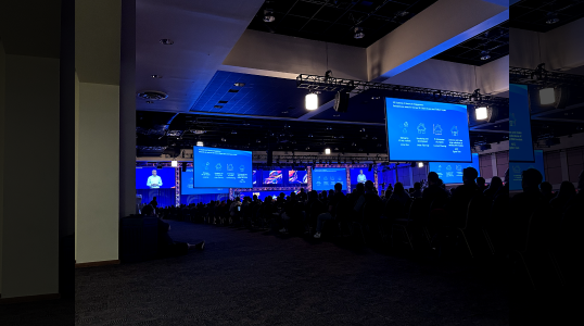
Overall, the Esri DevSummit is a valuable event for anyone working in GIS development or interested in learning about the latest trends and innovations in GIS technology. It provides attendees with an opportunity to stay up-to-date with the latest developments in the field, as well as to connect with peers and experts in the industry. We thank Esri & partners for hosting this event and eagerly anticipate Esri’s next big event. We can’t wait to see you there!