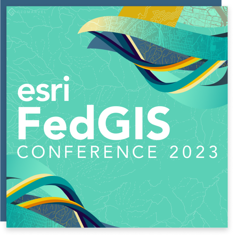
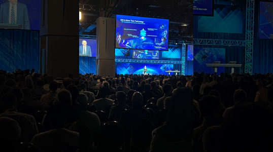
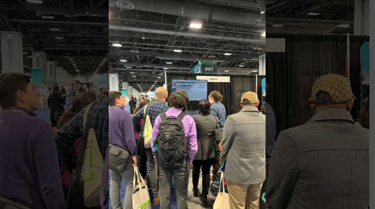
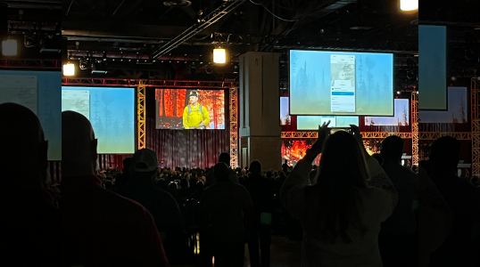
The 2023 Esri Federal GIS Conference (FedGIS) was hosted at the Walter E. Washington Convention Center in Washington, D.C., this past February 7th through 8th. FedGIS is the leading global conference dedicated to the exploration of geospatial technology, data, and trends by the federal government and its partners. Attendees had the opportunity to learn about Esri‘s latest product releases, network with government and industry peers, and experience a variety of hands-on workshops. In addition, the conference provided an exclusive look into key federal initiatives concerning geospatial data and its importance in the ever-evolving missions of varying government agencies.
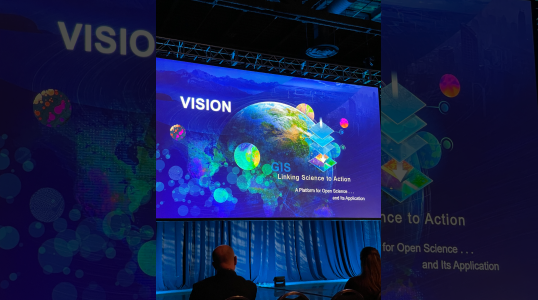
This year’s conference theme was “GIS–Linking Science to Action”, which explores how ArcGIS provides the opportunity to connect scientific data from a complex and highly interdependent ecosystem into uniformed, actionable insights, and visualization into our global footprint. Through workshops and presentations, attendees learned how to apply advanced analytics to their datasets, leverage technology to achieve data-driven insights, and explore emerging technologies and GIS concepts–such as the Digital Twin. Other technologies that were highlighted at the conference include: ArcGIS Enterprise on Kubernetes, what’s coming to ArcGIS Enterprise 11.1, ArcGIS Reality, Artificial Intelligence (AI) and Machine Learning (ML) functionalities coming to ArcGIS Pro, and much more! Additional presentations highlighted how geospatial technologies are being used to improve decision-making, increase efficiency, and drive innovation within organizations.
Imagery & Remote Sensing technologies have evolved rapidly over the past 10 years, creating new opportunities for federal agencies and private companies alike. At the 2023 FedGIS Conference, we had the chance to look back on where we’ve been, what lies ahead, and how imagery and remote sensing can help you to meet your goals now! Related sessions explored how to develop effective imagery analysis tools, how drones and satellite imagery are being used for monitoring, how to develop data-sharing agreements between agencies when working with satellite images from different sources (such as government agencies), and much more.
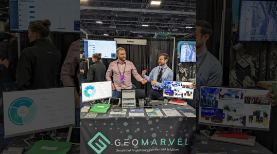
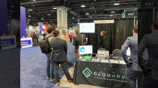
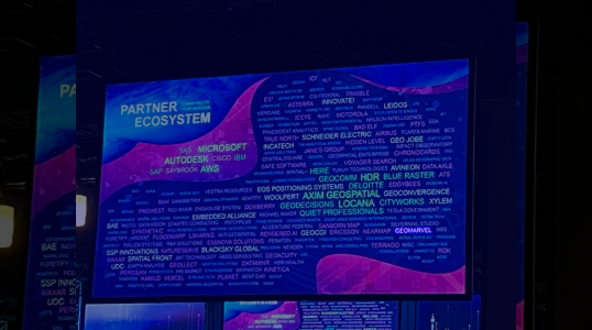
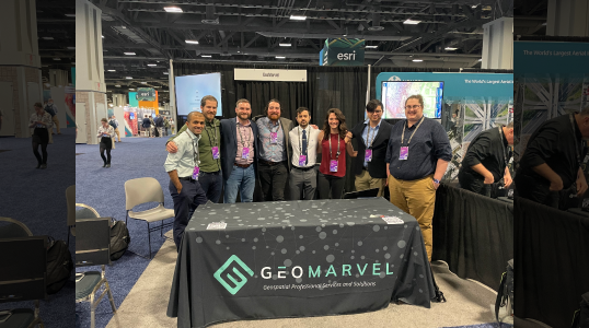
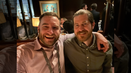
Historically, Esri partners have played a huge role in the annual FedGIS conference–this year is no exception. The GeoMarvel team, who this year consisted of: Anna van Amerongen, Corey Norris, Dalton Bloom, Harman Hasan, Jon Nordling, Kevin Cheriyan, Matthew Milideo, and Michael Humber; had the opportunity to exhibit our latest geospatial services and solutions, demo Spatial Host–our new hosting platform (scheduled for release this year), and demonstrate how our geospatial solutions are being used to support local governments, federal agencies, and private businesses alike. Additionally, we had the opportunity to connect with and strengthen relations that we have with other working partners.
")
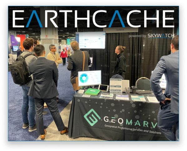

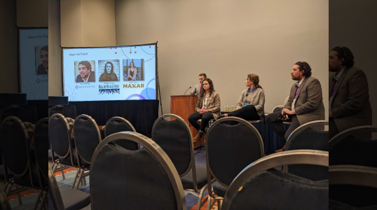
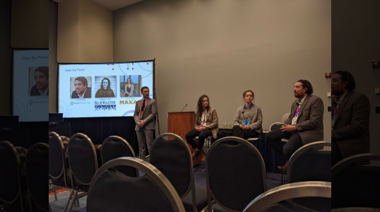
At this year’s conference, we were also joined by the SkyWatch team, who demonstrated their EarthCache ArcGIS Pro Add-in at our booth. The EarthCache plugin provides users the ability to select a location, choose an output, create a pipeline, purchase and populate commercial satellite imagery all through ArcGIS Pro. EarthCache imagery provides users the ability to quickly analyze, visualize, and interpret their datasets in a powerful way. Having the SkyWatch team join GeoMarvel is a great example of Esri partners coming together to design, develop and deploy GIS technologies to achieve mutually beneficial outcomes for the larger geospatial community.
Another conference highlight involved our very own CEO, Jon Nordling, as he spoke to the Esri Young Professionals Network (YPN) on the topic: Advocating for the Use of Modern GIS in the Workplace. Jon, who is a highly respected GIS veteran and YPN mentor, presented examples of how organizations successfully utilized GIS technologies, along with strategies that help drive business objectives. Ultimately, Jon’s message detailed several ways users can stay up-to-date with new technology and how to advocate for yourself and your organization to continue to evolve in this ever-changing world of GIS. Next year we hope to have additional team members participate in similar presentations.
")
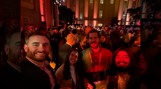
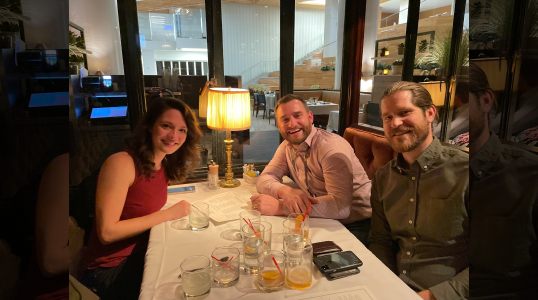
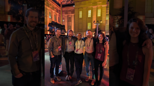
We had a wonderful time at this year’s Esri Federal GIS Conference (FedGIS) and we can’t wait for the next big event! The conference provided the perfect opportunity to get together with our partner, customers, and other members of the GIS community. We got to connect socially while enjoying the beautiful sights at the National Portrait Gallery! In addition to our involvement at the conference, our team was able to take part in several engaging presentations and workshops. We were especially excited to network and build partner-to-partner relationships during the event.
Thank you to Esri for the opportunity to showcase our work, explore the exciting work of other organizations and network with some of the brightest minds in the industry. We’re so grateful to have had the chance to meet you all at the conference! We hope you had as much fun as we did, and we can’t wait to see you again next year! We’ve already planned some great ideas ahead for next year, and we hope you’re as excited as we are!