Learn techniques for Collector Integration with Survey123. Prompt Collector to open from a personalized Survey123 form, to enable point, line, and polygon data collection.


Learn techniques for Collector Integration with Survey123. Prompt Collector to open from a personalized Survey123 form, to enable point, line, and polygon data collection.

As renewable energy technologies have grown, GIS has become an essential ally in identifying ideal locations for these inherently geographic solutions for energy production. Spatial analysis can reveal prime areas for renewable energy production by calculating the energy potential of a given location based on the geographic and cultural landscapes. Applying GIS for wind […]

Workforce for ArcGIS is a platform designed for field work optimization. Dispatchers in the office can create and assign tasks to Mobile Workers to complete in the field. Commonly used for inspections and service requests, Workforce offers real-time awareness to streamline field to office workflows. Let’s walk through the process of setting up Workforce […]

Clearly street view imagery has advantages in navigation, by letting you experience a 3D panoramic of each turn, helping drivers recognize new areas. After a natural disaster, street view imagery can be recorded to help assess damage and help determine assistance needs throughout an area. In addition, street-level imagery can be studied for the purpose […]
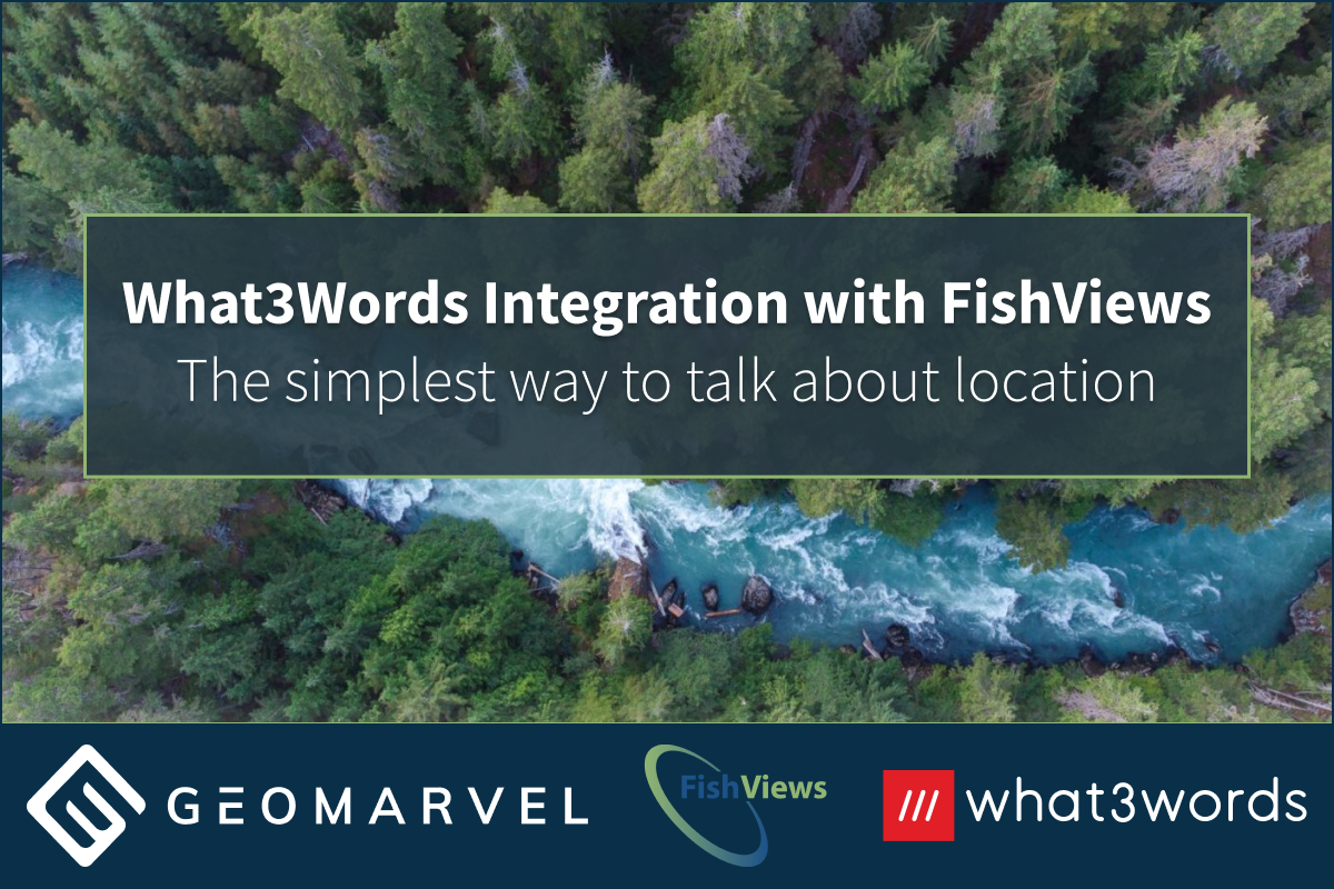
What3words has arranged the world into a grid of 3 x 3 meter squares, and then assigned a unique three-word address to each square. They’ve developed a simple and straightforward system to map the entire world, enabling the ability to pinpoint any location on earth.

Winter is here and the ski season is in full swing! Whether you’re new to skiing or a seasoned veteran, Colorado offers a wide variety of terrain. I’ve put together this comprehensive Colorado Ski Resorts Story Map detailing every resort in the state, because skiing has become a passion of mine. Currently living near the Rocky […]

Leverage real-time mapping and analytics with ArcGIS GeoEvent Server. Monitoring big data in real-time with the power of ArcGIS Enterprise. Monitor stationary sensors (water gauges, weather stations, air quality sensors, device temperatures), track mobile objects (airplanes, vehicles, animals, storms, ships, satellites, trains, people), or get notified when events occur (crime, lightning, accidents, tweets). 5 […]
GIS has become a tool for change, allowing users to leverage big data to analyze patterns and trends. Protecting against deforestation is no simple task, but luckily satellite imagery doesn’t lie. GIS is allowing for ongoing spatial awareness when it comes to land cover change and deforestation. Publicly available data, like that available from the […]

ArcGIS for Developers promotes a range of features, including the New Basemap Style creator. This tool offers the ability to create your very own customized basemap. Choose your colors, fonts, icons, and so much more. We’ll help get you started with a step-by-step guide, so you can begin creating works of basemap art. […]

Create ArcGIS Online feature layers with ArcGIS for Developers, providing the power to create advanced mapping applications with APIs, SDKs, and REST services. This complete mapping and location analytics platform is expanding upon the creation of new feature services for ArcGIS applications. Original feature service generation required creation in ArcGIS Desktop, followed by an upload to ArcGIS Online. The New Layer feature offers a simple method to create new feature services in ArcGIS Online.